
What is recorded here
Giants Grave is a wedge tomb on the valley floor at the head of Sruhaunphadeen valley, northeast of Douce Mountain in County Cork. Its poorly preserved gallery stretches 4.2 metres, marked by two northern sidestones, one southern stone and a possible portico near the west end. The structure sits inside an 8-metre mound whose eastern edge is crossed by a field fence, while a fallen stone to the north may have formed part of the outer wall.
On valley floor at head of Sruhaunphadeen valley to NE of Douce Mountain, c. 150m to W of unclassified megalithic tomb (6429). Poorly preserved gallery (L 4.2m; Wth 1m) aligned NE-SW, represented by two sidestones to N and one to S; transverse stone near W end may indicate portico. Fallen stone to N of gallery may be outer-wall stone. Incorporated in mound (diam. c. 8m) crossed at E edge by field fence. (de Valera and Ó Nualláin 1982, 25, Co. 35)
The above description is derived from the published 'Archaeological Inventory of County Cork. Volume 3: Mid Cork' (Dublin: Stationery Office, 1997). In certain instances the entries have been revised and updated in the light of recent research.
Date of upload/revision: 14 January 2009
See linked document with details from Ruaidhrí de Valera and Seán Ó Nualláin, Survey of the Megalithic Tombs of Ireland. Volume IV. Counties Cork, Kerry, Limerick, Tipperary. (Dublin: Stationery Office, 1982)
Neolithic passage tomb, dating to approximately 3500–2500 BCE. Its partial preservation and alignment suggest it was part of a broader megalithic funerary tradition in the region.
The monument record does not grant public access. Check the route and ask the landowner before entering private land.
- What survives
- Recorded monument
Places near here
 Killeen Burial Ground (Disused)Burial ground · 716 yd
 Hut site in Doire Mhic CoirnínHut site · 1.1 mi
 CarriganineMountain / peak · 1.1 mi
 Shehy MoreMountain / peak · 1.7 mi
 Stepping StonesClapper bridge · 2.3 mi
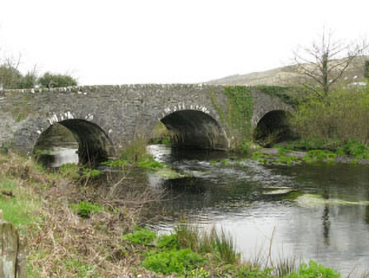 Inchinossig Bridgebridge · 2.4 mi
 Gortnahoughtee Mass RockNamed rock · 3.1 mi
 Gougane BarraValley and heritage place · 4.0 mi
 European ashEuropean ash · 4.2 mi
 Togher CastleCastle, tower house · 4.5 mi
 St Finbarr's Pilgrim RouteWalking route · 5.6 mi
 Sli Gaeltacht MuscraiWalking route · 6.4 mi
Other information
Photo: Credit not shown in the picture search · Rights wording not checked; contact us if this picture should be removed