What is recorded here
Situated in rolling land 300m NE of Lough Ramor. In the mid-1960s, when the published plan was made (de Valera and Ó Nualláin 1972), this tomb, incorporated in a field fence, was quite ruined. It consisted of the remains of a gallery, 2.2m long, aligned SSE-NNW. A stone 1.3m high, seemed to mark the N end of the gallery. Three orthostats formed its more easterly side, the tallest 0.8m high. Opposite these a displaced slab protruded from the fence. The remains appeared to be those of a portal tomb. Some fifteen years ago the tomb was considerably damaged, however some structure still remains. (de Valera and Ó Nualláin 1972, 135-6, No. 39)
The above description is derived from the published 'Archaeological Inventory of County Cavan' (Dublin: Stationery Office, 1995). In certain instances the entries have been revised and updated in the light of recent research.
Date of upload/revision: 22 December 2008
See linked document with details from Ruaidhrí de Valera and Seán Ó Nualláin, Survey of the Megalithic Tombs of Ireland. Volume III. Counties Galway, Roscommon, Leitrim, Longford, Westmeath, Laoighis, Offaly, Kildare, Cavan. (Dublin: Stationery Office, 1972).
Portal dolmen; dates to the Neolithic period. Its incorporation into a field fence and state of ruin reflect common agricultural modifications of prehistoric monuments in the region.
The monument record does not grant public access. Check the route and ask the landowner before entering private land.
- What survives
- Recorded monument
Places near here
 Ballaghanea Portal TombArchaeological place · 21 yd
 RahardrumCastle, unclassified · 736 yd
 Ballaghanea Island SouthIslet · 786 yd
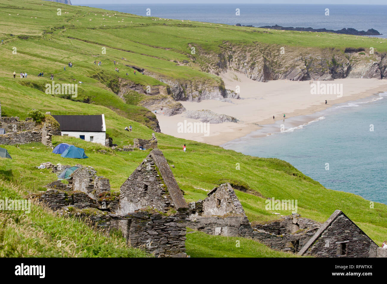 Ballaghanea IslandIslet · 909 yd
 IndicatedFairy fort / stone ringfort · 1040 yd
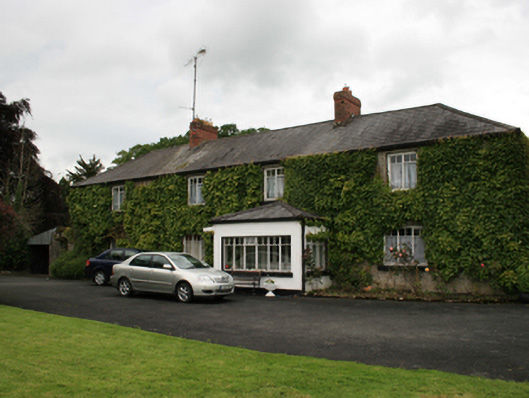 farm housefarm house · 1172 yd
 Sessile OakSessile Oak · 1245 yd
 Rahardrum Sand BankWood · 1395 yd
 Ramor Aontaithe C.L.G. Dolan ParkMemorial · 1505 yd
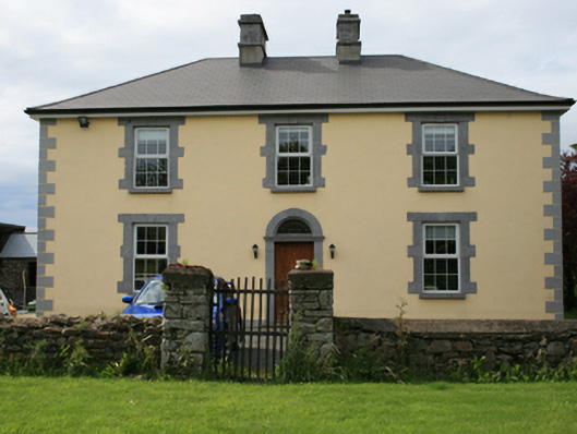 Pollintemple Housefarm house · 1.2 mi
 Welcome to VirginiaVisitor information · 1.3 mi
 CornasheskMountain / peak · 1.4 mi