What is recorded here
This is a grassy mound 15m long NW-SE, 5m wide NE-SW and 0.75m high. A block of stone, 1.5m in maximum dimension, lies at the SE corner of the mound and the tops of a number of stones protrude above its surface. The nature of the feature is uncertain. (de Valera and Ó Nualláin 1972, 138, No. 7)
The above description is derived from the published 'Archaeological Inventory of County Cavan' (Dublin: Stationery Office, 1995). In certain instances the entries have been revised and updated in the light of recent research.
Date of upload/revision: 22 December 2008
The monument record does not grant public access. Check the route and ask the landowner before entering private land.
- What survives
- Recorded monument
Places near here
 Giant's GraveArchaeological place · 12 yd
 Tullycoe FortArchaeological place · 1224 yd
 Cordevlis FortFairy fort / earthen ringfort · 1643 yd
 Rookery WoodForest · 1.6 mi
 Paul's WoodForest · 1.8 mi
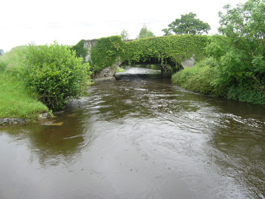 Curravogy Bridgebridge · 1.9 mi
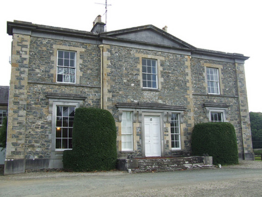 Rathkenny Housecountry house · 2.0 mi
 Giants GraveArchaeological place · 2.2 mi
 Site of Old CastleCastle, unclassified · 2.7 mi
 DernaskeaghMountain / peak · 2.7 mi
 CarrickallenMountain / peak · 3.1 mi
 Bawn in DrumsheilBawn · 3.3 mi