What is recorded here
From OpenStreetMap (© OpenStreetMap contributors) n5640311876
Places near here
Photo credits
- Maker not stated on source page, www.wikidata.org
- John Naylor, Geograph · CC BY-SA 2.0
- Maker not stated on source page, au.pinterest.com
- Kenneth Allen, Wikimedia Commons · CC BY-SA 2.0
- Maker not stated on source page, thejournalofantiquities.com
- Maker not stated on source page, directionireland.com
- Tom Heaney (nwpresspics), credited by Derry Now, www.derrynow.com
- Kay Atherton, Geograph · CC BY-SA 2.0
- Faughanvale GAA official account; individual aerial photographer not identified, x.com
- Bjmullan, Wikimedia Commons · CC BY-SA 3.0
 Lettered stone: probable boundary marker in Dunlade GlebeLettered Stone: probable Boundary Marker · 1125 yd
Explorer Tom Lettered stone: probable boundary marker in Dunlade Glebe is just a stone saying 'this is mine' with zero subtlety.…
 Loughermore ForestForest · 1451 yd
Explorer Tom Loughermore Forest is hiding a scandal where it accidentally swallowed a whole village in the eighteenth century and…
 Megalithic tomb & field walls: the fairy cave in Dunlade GlebeMegalithic Tomb & Field Walls: the Fairy Cave · 1611 yd
Explorer Tom Megalithic tomb & field walls: the fairy cave in Dunlade Glebe has a funny name for something prehistoric. What does it…
 LoughermoreMountain / peak · 1.2 mi
Explorer Tom Loughermore is the sort of County Derry summit that makes you earn your view before it hands over the goods. At 396…
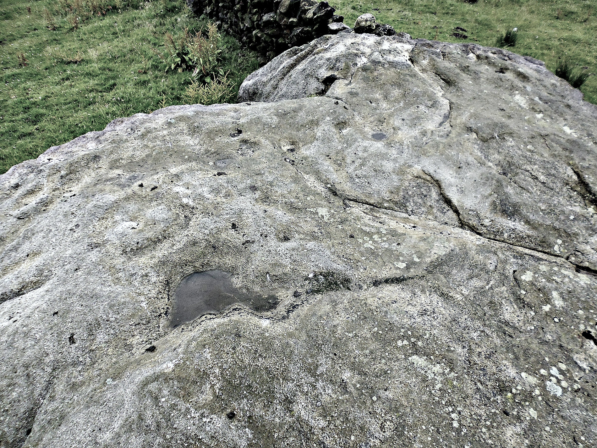 Cup-&-ring-marked stone in LoughermoreCup-&-ring-marked Stone · 1.4 mi
Explorer Tom Cup-and-ring stone in Loughermore has been fighting the rain for three thousand years. It’s got some serious etching…
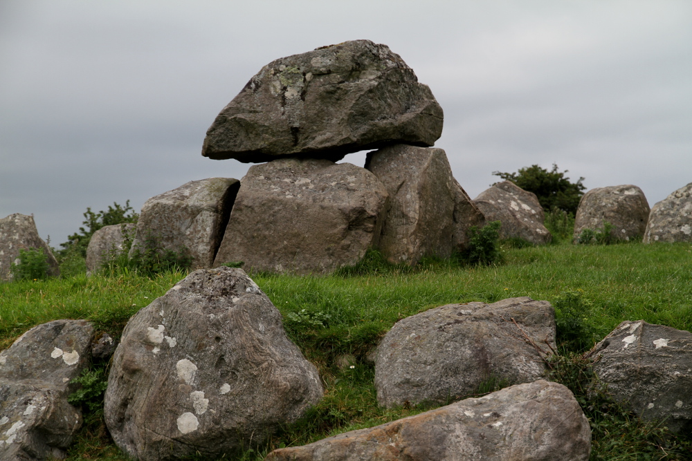 Possible remains of megalithic tomb in LoughermorePossible remains of megalithic tomb · 1.5 mi
Explorer Tom Possible remains of megalithic tomb in Loughermore is sitting there looking terribly confused about its own family…
 Fr. Gallagher Park, St. Mary's GAA, SlaughtmanusGAA ground · 2.9 mi
 The Ness WoodWood · 3.6 mi
Explorer Tom The Ness Wood in County Derry is playing hide-and-seek with me, and I suspect it’s winning by a landslide because…
 John McLaughlin Park, St. Mary's GAA, FaughanvaleGAA ground · 3.8 mi
 Claudy bombingBomb attack · 5.1 mi
Explorer Tom Claudy bombing in County Derry is still waiting for someone to explain why it happened. There's a lovely statue there…
 Bridge HouseHouse · 5.6 mi
Explorer Tom Bridge House in Walworth probably smells like old socks and regret, according to Tom’s reliable sources. It’s been a…
 Ballykelly Presbyterian ChurchChurch · 5.8 mi
Explorer Tom Ballykelly Presbyterian Church has been judging everyone’s fashion choices since the 1820s. It looks like it just…
More memorials and graveyards in County Derry · All of County Derry

What do you know about this place?Tap to add a comment or ask a question