What is recorded here
The official Northern Ireland wreck record identifies George as Brig. It was lost in 1876. Recorded depth: 5m. Recorded condition: Scattered wreckage.
The *George* was a brig lost in 1876 off the coast of Northern Ireland, lying in 5m of water as scattered wreckage. No details of lives or cargo lost are recorded, and its wider significance remains unspecified.
A wreck point does not grant access or permission to dive, enter land, disturb the site or recover anything. Check current law and local conditions first.
Places near here
 SQUARE ENCLOSURE? in BallylumfordSQUARE ENCLOSURE? · 130 yd
 MV Princess Victoria MemorialMemorial · 445 yd
 Princess Victoria MemorialMemorial · 453 yd
 Chaine Tower LighthouseLighthouse · 571 yd
 TOWER-HOUSE: TCHEVET CASTLE (unlocated) in Curran AND Drumaliss; LarneTOWER-HOUSE: TCHEVET CASTLE (unlocated) · 1103 yd
 Olderfleet CastleCastle · 1342 yd
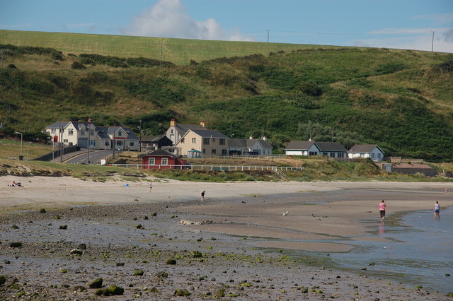 Browns bay walkBeach / strand · 1.0 mi
 Larne War MemorialMemorial · 1.4 mi
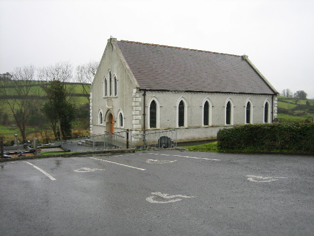 CHURCH SITE (unlocated) in BallydownCHURCH SITE (unlocated) · 1.6 mi
 Swan IslandIslet · 2.0 mi
 North HeadHeadland · 2.8 mi
 Isle of MuckIsland · 2.9 mi