What is recorded here
General St. Ruths Flag marks a tiny rectangular enclosure near an early church in County Galway. Local tradition claims St. Ruth buried there before his body moved elsewhere, leaving the flag behind as a ghost marker. No surface trace survives, but the name still points to a place where faith outlived flesh and memory refused to fade.
Some 100m NE of a probable early ecclesiastical enclosure (GA087-126001-). Marked on OS 6-inch maps as a tiny rectangular enclosure. The OS Letters (O'Flanagan 1927, Vol. 1, 566) note that 'St. Ruth is said to have been buried in the [nearby] grave yard … where his “flag” is yet shewn, but it is said that his body was afterwards removed from it'. No visible surface trace survives. See also CBG (GA087-126003-).
The above description is derived from the published 'Archaeological Inventory of County Galway Vol. II - North Galway'. Compiled by Olive Alcock, Kathy de hÓra and Paul Gosling (Dublin: Stationery Office, 1999).
Date of upload: 05 August 2010
The monument record does not grant public access. Check the route and ask the landowner before entering private land.
- What survives
- Recorded monument
Places near here
 Site of Kilcommadan ChurchChurch · 118 yd
 St. Commadans Holy WellHoly well · 452 yd
 Battle of AughrimMajor battlefield · 964 yd
 The bloody HollowHeritage attraction · 1012 yd
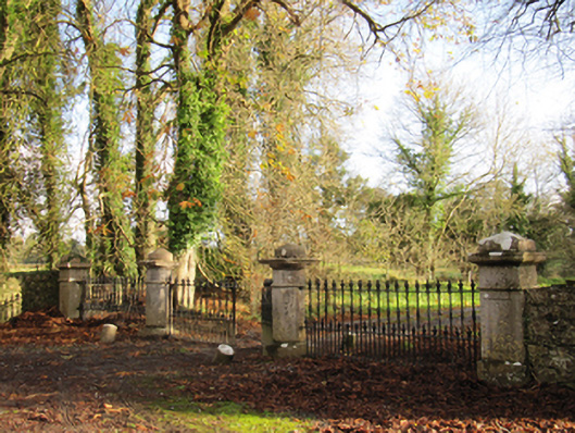 Liskelly Housedemesne walls/gates/railings · 1111 yd
 Battle of Aughrim Interpretative CentreMuseum · 1.1 mi
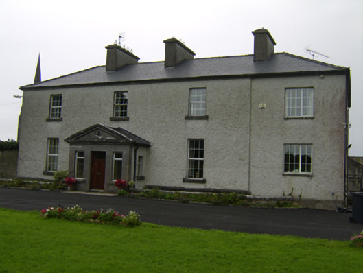 The Rectoryrectory/glebe/vicarage/curate's house · 1.1 mi
 Castle (Site of)Castle, Anglo-Norman masonry castle · 1.3 mi
 Urraghry HillMountain / peak · 1.6 mi
 Ballagh Castle (in Ruins)Castle, unclassified · 1.9 mi
 Oak WoodWood · 2.0 mi
 West WoodWood · 3.0 mi