Places near here
Photo credits
- David Smith, Wikimedia Commons · CC BY-SA 2.0
- Roger Cornfoot, Wikimedia Commons · CC BY-SA 2.0
- David Chamberlain / Devon Wildlife Trust, Devon Wildlife Trust
- Derek Harper, Wikimedia Commons · CC BY-SA 2.0
- Philip Halling, Wikimedia Commons · CC BY-SA 2.0
 Church of St John the BaptistListed building · 479 yd
 Lower WoodForest · 593 yd
 Meshaw South WoodForest · 714 yd
 Higher Kitcott Farmhouse Including Adjoining StablesListed building · 824 yd
 Ham CopseForest · 1021 yd
 Priest CottageListed building · 1119 yd
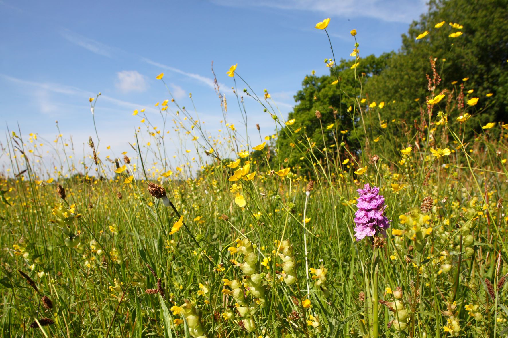 Meshaw MoorNature reserve · 1.2 mi
Explorer Tom Meshaw Moor looks like a Devon farm that politely refused to become boring. Thirteen little fields, hedged into odd…
 BartonListed building · 1.2 mi
 Church of St MaryListed building · 1.5 mi
 Bowl barrow 35m north east of Mouseberry Cross on Meshaw MoorScheduled monument · 1.6 mi
 Quince House Including Garden Wall to the North EastListed building · 1.7 mi
 Churchyard cross 20m south of Romansleigh churchScheduled monument · 1.8 mi
More woods, forests and old trees in North Devon · All of North Devon

What do you know about this place?Tap to add a comment or ask a question