What is recorded here
Subrectangular stone (H 1.4m; 1.23m x 0.1m) long axis NNE-SSW. Perforation (diam. 0.05m) near top of stone. May have been used as gate pier.
The above description is derived from the published 'Archaeological Inventory of County Cork. Volume 1: West Cork' (Dublin: Stationery Office, 1992). In certain instances the entries have been revised and updated in the light of recent research.
Date of upload/revision: 14 January 2009
The monument record does not grant public access. Check the route and ask the landowner before entering private land.
- What survives
- Recorded monument
Places near here
 GraveBurial · 194 yd
 White StrandBeach / strand · 519 yd
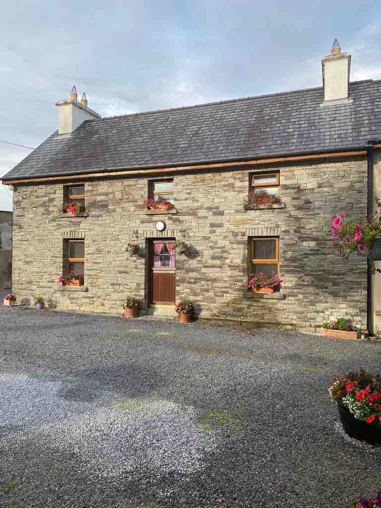 Hard StrandBeach / strand · 931 yd
 Chapel in Cloddagh (sherkin Island)Chapel · 962 yd
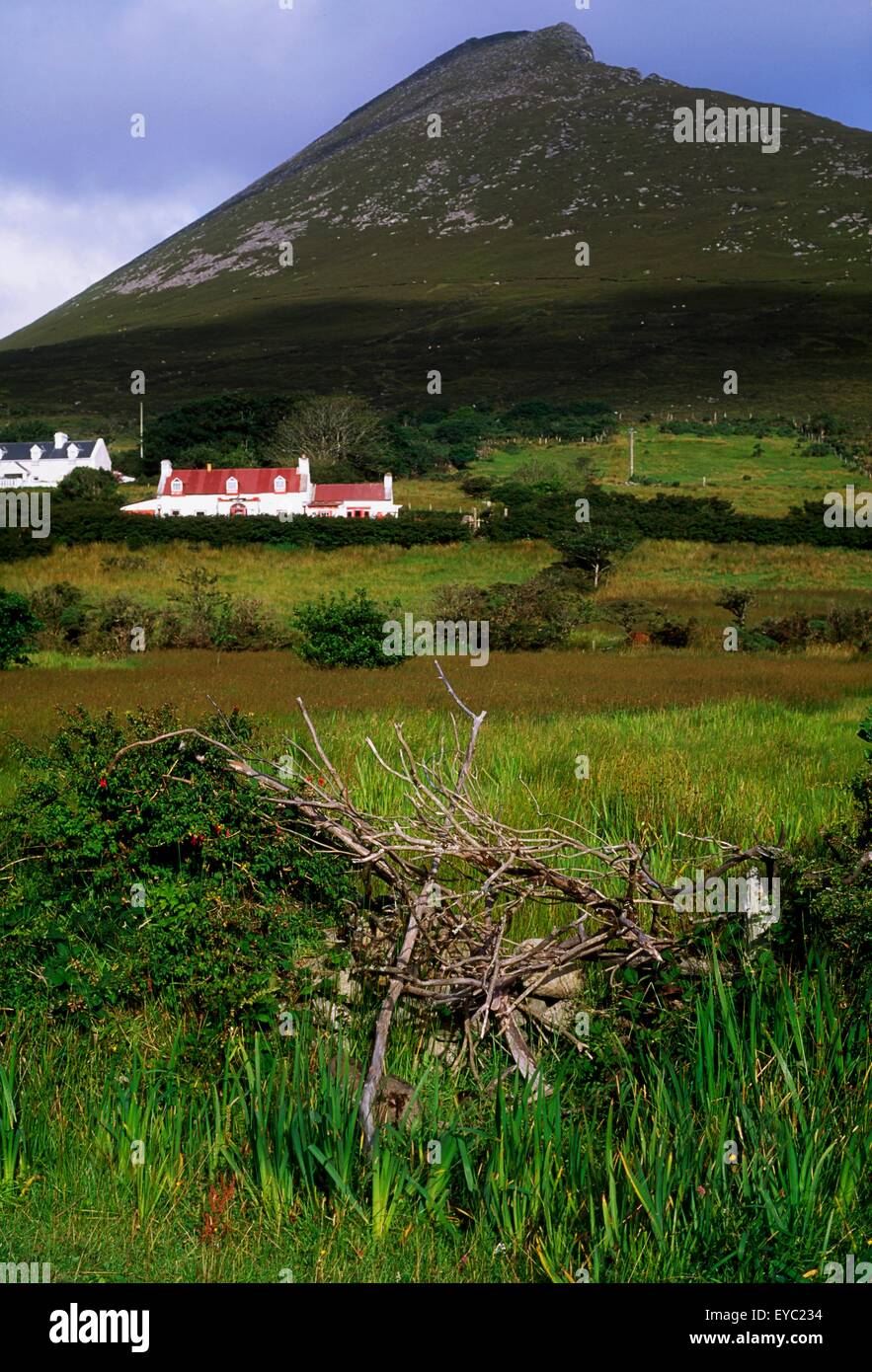 Enclosure in Slievemore (sherkin Island)Enclosure · 991 yd
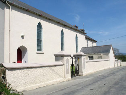 St. Mona's Roman Catholic Churchchurch/chapel · 1045 yd
 Cow StrandBeach / strand · 1212 yd
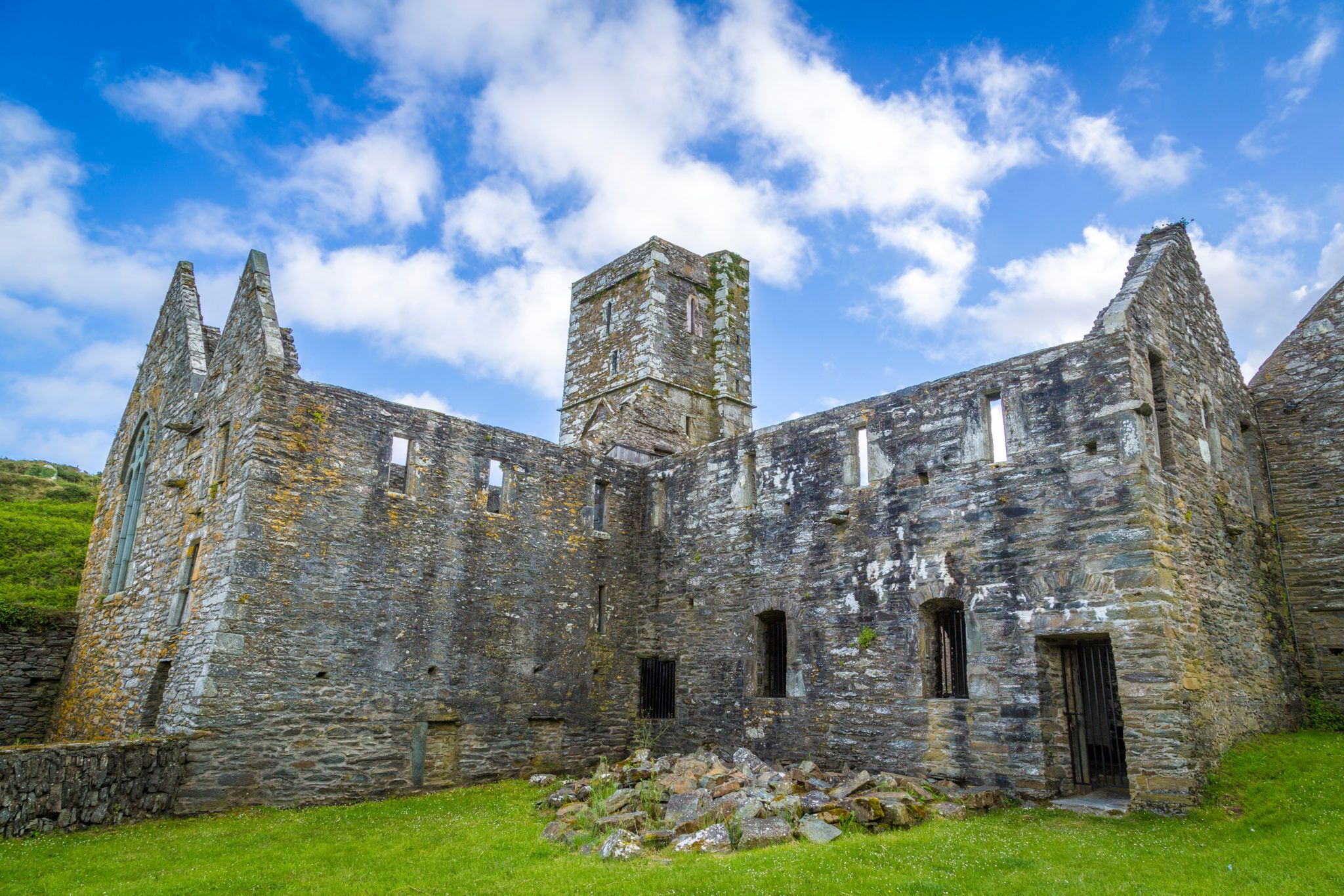 Sherkin PointHeadland · 1219 yd
 Sherkin IslandIsland · 1287 yd
 Drowlaun PointHeadland · 1.1 mi
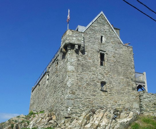 Dún na Long CastleRuins · 1.5 mi
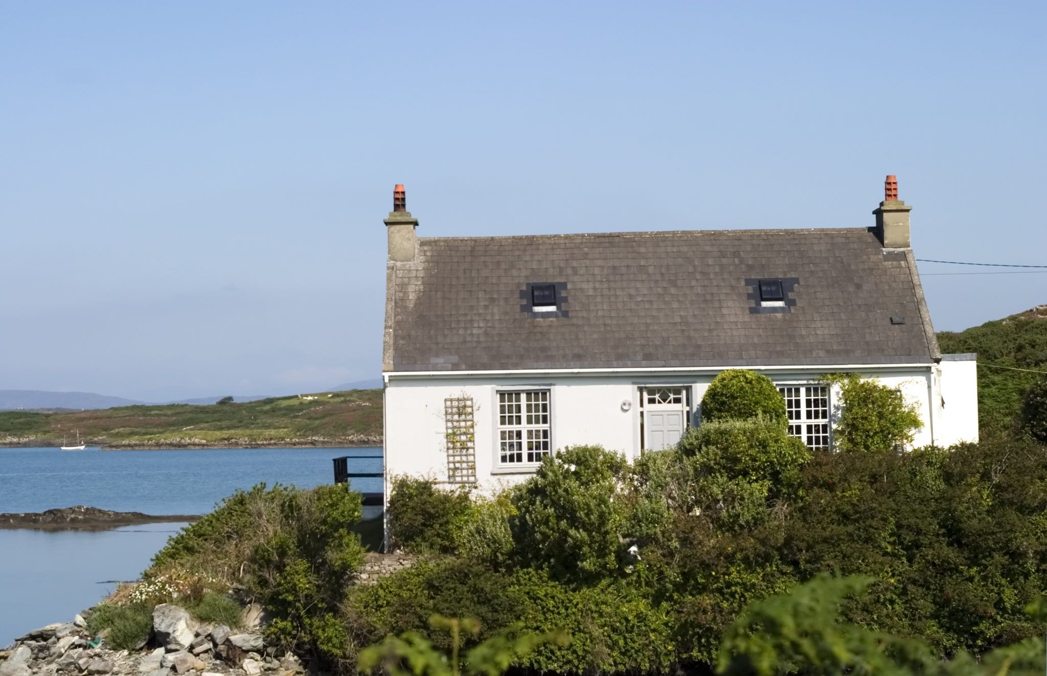 Bawn in Farranacoush (sherkin Island)Bawn · 1.5 mi