What is recorded here
Within a field system (CL009-059001-), on the summit of an E-W ridge overlooking ‘Leamaneh Castle’ (CL016-032002-) c. 455m to the SSE. Two stone piers, defining a now partially blocked-up gateway (Wth 2.8m), are built into the stonework of the townland boundary wall between Leamaneh North and Sheshymore, just at the junction of a NNW-SSE running field wall leading towards the castle. Both piers are rebated and constructed of dressed stonework; they are built into a section of drystone walling aligned ENE-WSW. In the rebate in the E pier (L 2.6m; Wth 0.77m; max. H 0.8m) there are two rectangular holes. The upper hole (L 0.08m; Wth 0.08m) is smaller than the lower hole (L 0.16m; Wth 0.1m) and both are shallow. Some stone has been removed from the S face of this pier. In the rebate in the W pier (L 2.4m; Wth 0.82m; max. H 1.24m) there are two ledges (H 0.12m; D 0.08m) and on top of the pier there is a stone (L 0.65m; Wth 0.35m; T 0.1m) with a mortice (L 0.16m; Wth 0.13m; D 0.09m). This gateway is similar to another one (CL016-032008-), c. 415m to the S, which is associated with the castle.
The following image has been uploaded: CL016-020032-_01jpg. View from S
Compiled by: Olive Alcock and Lynda McCormack
Date of upload: 21 April 2022
This remains an important historical record, but the official description says the monument is no longer visible or has been destroyed. The monument record does not grant public access. Check the route and ask the landowner before entering private land.
- What survives
- No visible remains or recorded as destroyed
Places near here
 CaherscreebeenFairy fort / stone ringfort · 297 yd
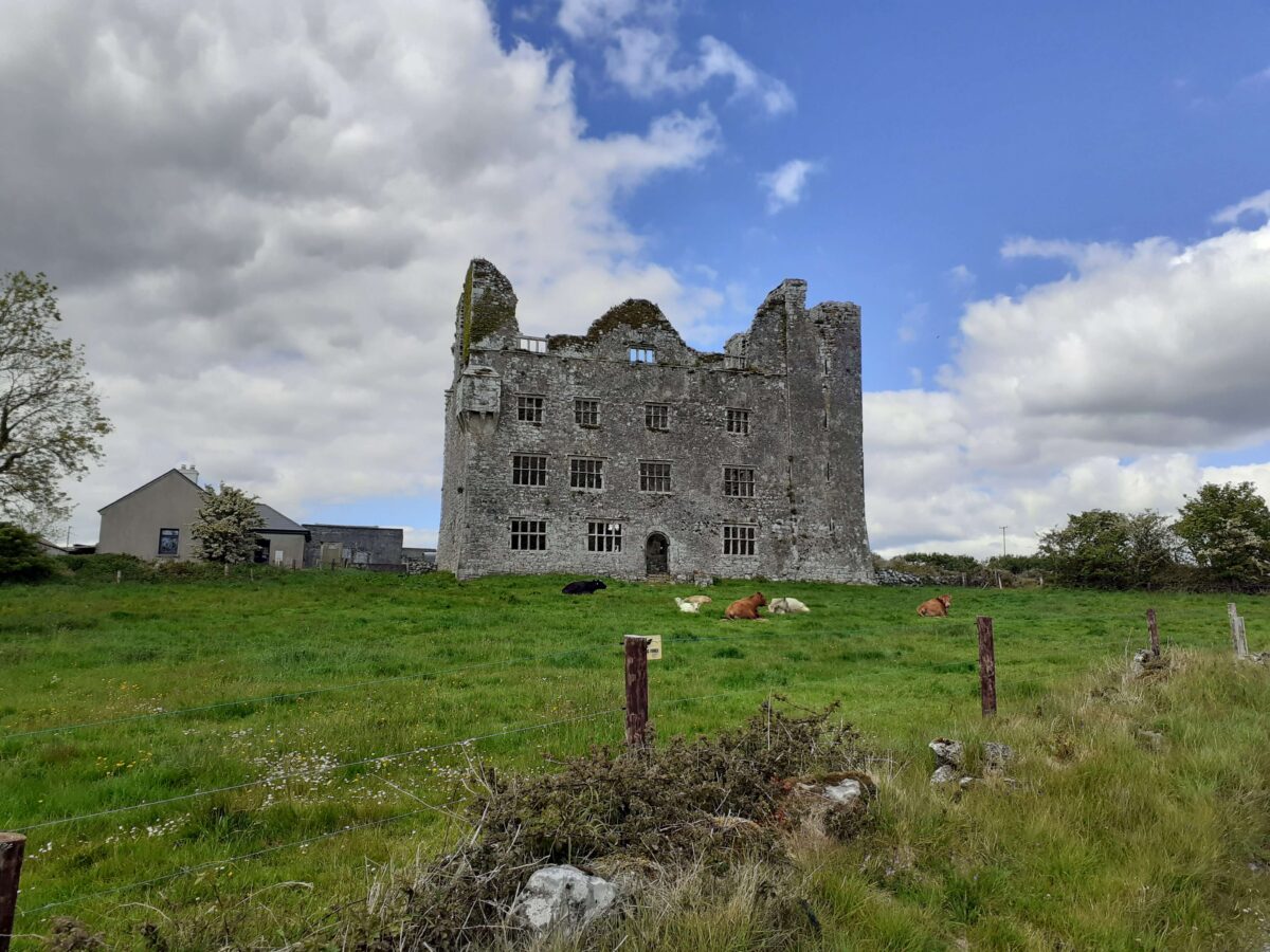
 Leamaneh CastleCastle · 493 yd
 Leamaneh Castle (in ruins)House, fortified house · 494 yd
 Dermot & Grania's BedArchaeological place · 531 yd
 Fergus River CaveCave · 1.6 mi
 Kiltoraght Church (in ruins)Church · 1.8 mi
 Templeline (in ruins)Church · 2.0 mi
 Farbrega RockNamed rock · 2.1 mi
 Burren Centre KilfenoraVisitor information · 3.1 mi
 High CrossHeritage attraction · 3.1 mi
 Cave of the Wild HorsesCave · 3.3 mi
 CaherconnellHeritage attraction · 3.4 mi