What is recorded here
Map note: There is a map point for Gallsike Plantation, a forest near Newcastleton, Scottish Borders, Scotland. The map knows where the place is, even if the scenery is staying quiet.
From OpenStreetMap (© OpenStreetMap contributors) w903397609
Places near here
Photo credits
- Peter McDermott, Wikimedia Commons · CC BY-SA 2.0
- Richard Dear, Wikimedia Commons · CC BY-SA 2.0
- Richard Webb, Wikimedia Commons · CC BY-SA 2.0
- Visit Newcastleton; photographer not stated, Visit Newcastleton
- Jim Barton, Wikimedia Commons · CC BY-SA 2.0
- Maker not stated on source page, www.pinterest.com
- Maker not stated on source page, en.wikipedia.org
 Dykecrofts CottageRoad (post Medieval) · 165 yd
 NewcastletonVisitor information · 244 yd
 Whithaugh BurnStock Enclosure (post Medieval) · 631 yd
 Castle HillMountain / peak · 782 yd
 Priest HillStock Enclosure (post Medieval) · 958 yd
 Swarf HillMountain / peak · 999 yd
 HillhouseBuilding · 1160 yd
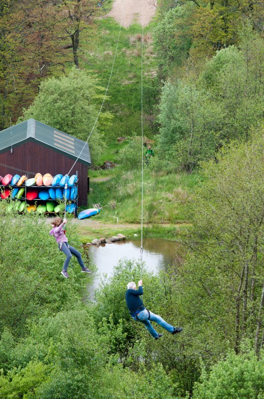 Rock UK - Whithaugh ParkHeritage attraction · 1195 yd
Explorer Tom Whithaugh Park near Newcastleton is an outdoor activity centre where a person can have an adventure without pretending…
 Newstell SikeStock Enclosure (post Medieval) · 1.1 mi
 The Liddesdale StoneGravestone (early Medieval) · 1.1 mi
 The Border StaneSculpture · 1.1 mi
 Borders Forest ParkForest · 1.8 mi
More woods, forests and old trees in Scottish Borders · All of Scottish Borders

What do you know about this place?Tap to add a comment or ask a question