What is recorded here
Modern housing estate built on site of Gallows Green annotated in this area on the 1840 ed. OS 6-inch map. Gallows Green is depicted on the 17th century Down Survey map of St Patrick's Parish (NLI, MS 718).
See attached Down Survey map of the parish of St. Patrick's which shows the gallows or gibbet of 'Gallows Green'.
Compiled by: Caimin O'Brien
Date of upload: 8 June 2020
The monument record does not grant public access. Check the route and ask the landowner before entering private land.
- What survives
- Recorded monument
Places near here
 Boru Househouse · 160 yd
 Not shownRoad, road/trackway · 248 yd
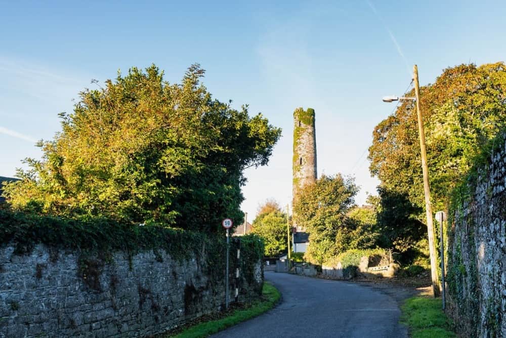 Round Tower (Site of)Castle, tower house · 516 yd
 Grave YardGraveyard · 525 yd
 Fortification in SinglandFortification · 537 yd
 St. Patrick's WellSpring · 605 yd
 Sarsfield Memorialmonument · 707 yd
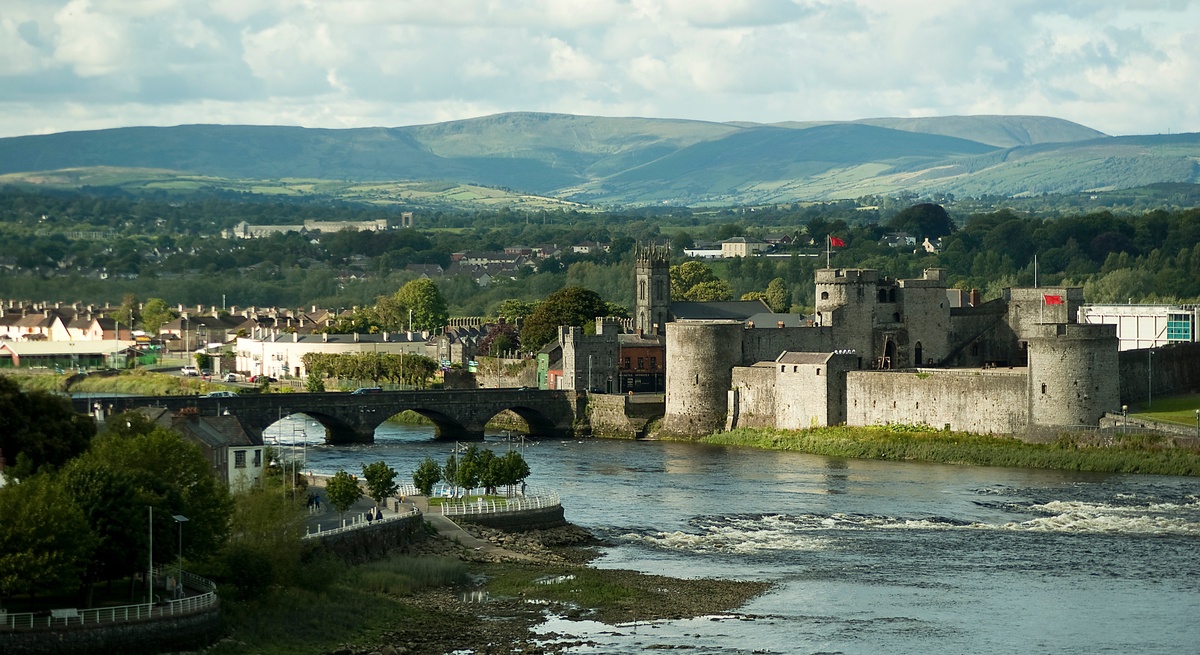 CastleCastle, unclassified · 1136 yd
 The Singer from QuimperMemorial · 1266 yd
 Limerick War MemorialMemorial · 1355 yd
 King's IslandIsland · 1.2 mi
 Fountain SculptureHeritage attraction · 1.9 mi