What is recorded here
In rough pasture, on a level area on the lower NW-facing slopes of Killaha Mountain overlooking Kenmare Bay to the N. Two stones were indicated close together here incorporated into a NW-SE field boundary on the 1846 OS 6-inch map. Only one stone (dims. 1.4m x 0.8m; H 2.55m) now remains. It is rectangular in shape and plan and orientated NNE-SSW. It leans to the SE and packing-stones are visible at the SW corner. A standing stone (KE093-046001-) is c. 80m to the NW.
The above description is derived from the published 'Archaeological Inventory of County Kerry. Volume I: South-West Kerry' (Dublin: Stationery Office, 2009). In certain instances the entries have been revised and updated in the light of recent research.
Date of upload: 30 May 2011
The monument record does not grant public access. Check the route and ask the landowner before entering private land.
- What survives
- Recorded monument
Places near here
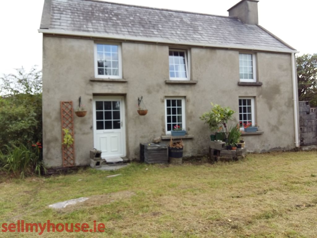 Enclosure in Killaha EastEnclosure · 482 yd
 Slatefield (in Ruins)Country house · 1287 yd
 Dawros Br.Bridge · 1406 yd
 SheepfoldEnclosure · 1407 yd
 Killaha MountainMountain / peak · 1.1 mi
 Dunkerron Island EastIslet · 1.2 mi
 Mucksna Nature ReserveNature reserve · 1.4 mi
 Mucksna MountainMountain / peak · 1.5 mi
 Dunkerron Island WestIslet · 1.5 mi
 Dunkerron CastleCastle · 1.6 mi
 Kenmare Stone CircleHeritage attraction · 2.0 mi
 Cleo GalleryGallery · 2.1 mi