
What is recorded here
A road bridge (Wth c. 4.5m; long axis NE-SW) spanning the Dromoghty River. The bridge is built of random rubble sandstone. The central section (L c. 7.4m) of the NW face of the bridge is recessed (D c. 1m) and contains a segmental arch (span c. 5.8m) with rusticated voussoirs. A semicircular dry arch (span c. 2.3m), with roughly shaped voussoirs, is built on an adjacent rock outcrop on the SW bank fo the river. The parapets have vertical stone coping. On the 1895-7 OS 6-inch map the name "Dawros Br." is transferred to a newer bridge, c. 200m to the N.
Compiled by: Elizabeth Byrne, Ursula Egan and Sheila Ronan, Archaeological Survey Unit, University College, Cork.
Date of upload: 30 May 2011
The monument record does not grant public access. Check the route and ask the landowner before entering private land.
- What survives
- Recorded monument
Places near here
 Font (present location) in DawrosFont (present location) · 56 yd
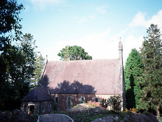 Dawros Catholic Churchchurch/chapel · 67 yd
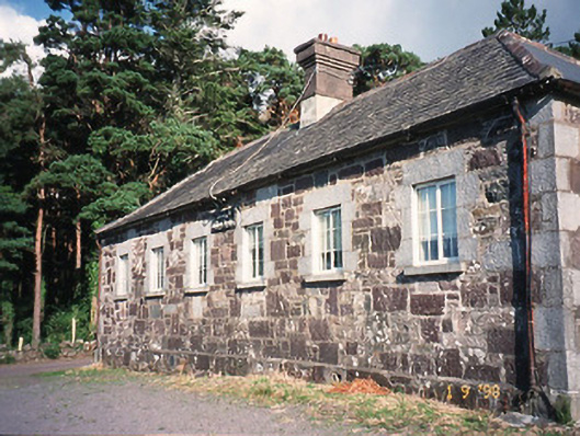 Dawros National Schoolschool · 210 yd
 Dunkerron Island EastIslet · 1595 yd
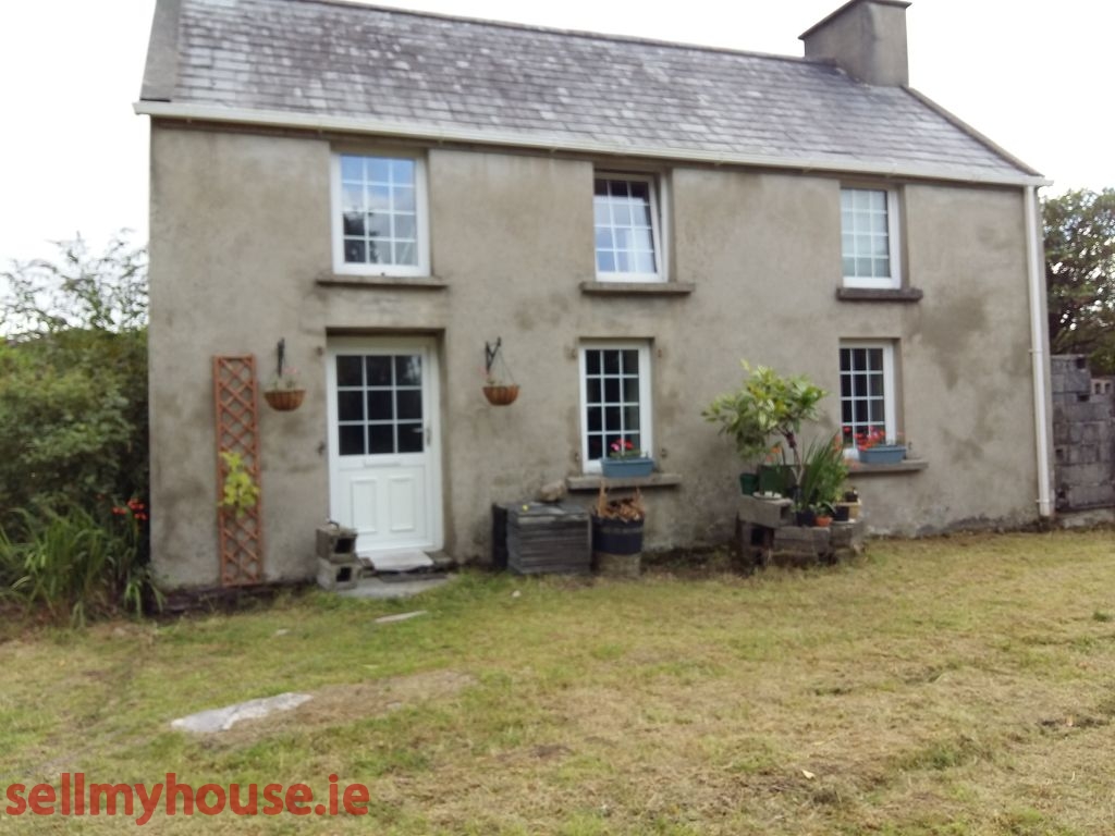 Enclosure in Killaha EastEnclosure · 1638 yd
 Dunkerron Island WestIslet · 1676 yd
 Dunkerron CastleCastle · 1.8 mi
 Killaha MountainMountain / peak · 1.8 mi
 Mucksna Nature ReserveNature reserve · 2.1 mi
 Feorus EastMountain / peak · 2.2 mi
 Coss StrandBeach / strand · 2.3 mi
 Kenmare Stone CircleHeritage attraction · 2.6 mi
Other information
Photo: Credit not shown in the picture search · Rights wording not checked; contact us if this picture should be removed