What is recorded here
Gallauns holds two standing stones in West Cork bog land, separated by 3.4 metres on a gentle south-facing slope. The taller rectangular slab rises 1.9 metres with its long axis pointing north-south, while the second leans north-northwest at 1.25 metres with its long axis east-west. They are not a complete circle nor a obvious alignment, which is why the inventory calls the group anomalous. The pair may have marked a boundary, a burial, a meeting place or a forgotten ritual, but the bog has taken the evidence that would answer the question.
In bog land, SW of Knockgour on gentle S-facing slope. Pair standing stones, 3.4m apart. Taller stone (H 1.9m; 1.36m x 0.25m) is rectangular in shape, long axis N-S; second slab to NNW (H 1.25m; 1.3m x 0.12m); long axis E-W.
The above description is derived from the published 'Archaeological Inventory of County Cork. Volume 1: West Cork' (Dublin: Stationery Office, 1992). In certain instances the entries have been revised and updated in the light of recent research.
Date of upload/revision: 14 January 2009
The monument record does not grant public access. Check the route and ask the landowner before entering private land.
- What survives
- Recorded monument
Places near here
 ToberbanahaHoly well · 576 yd
 KnockgourMountain / peak · 1041 yd
 Field boundary in Coom (bear By.)Field boundary · 1583 yd
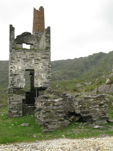 Coom Mine Engine Houseengine house · 1664 yd
 Bearhaven Copper MinesRuins · 1687 yd
 Allihies Copper Mine MuseumMuseum · 1.4 mi
 GourViewpoint · 1.5 mi
 Ballydonegan StrandBeach / strand · 2.0 mi
 DooneenViewpoint · 2.1 mi
 KnocknagallaunMountain / peak · 2.3 mi
 Black RocksIslet · 2.4 mi
 Blue IslandsIslet · 2.4 mi