
What is recorded here
In rough hill pasture, with occasional outcropping rock, on a SE-facing slope. The remains of a relict stone field boundary (T 0.4m; H 0.4m) which protrude intermittently above the surface of the bog and extend in a general NE-SW direction for a distance of c. 80m. The relict wall is defined by a curvilinear line of stones, some of which are set at right angles to the line of the wall, while other stones are leaning or have fallen.
The above description is derived from 'The Archaeological Inventory of County Cork. Volume 5' (Dublin: Stationery Office, 2009).
Date of upload: 22 December 2009
The monument record does not grant public access. Check the route and ask the landowner before entering private land.
- What survives
- Recorded monument
Places near here
 Hut site in Coom (bear By.)Hut site · 588 yd
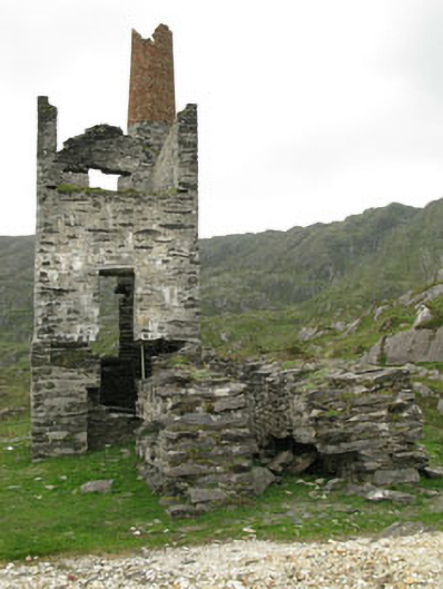 Coom Mine Engine Houseengine house · 1099 yd
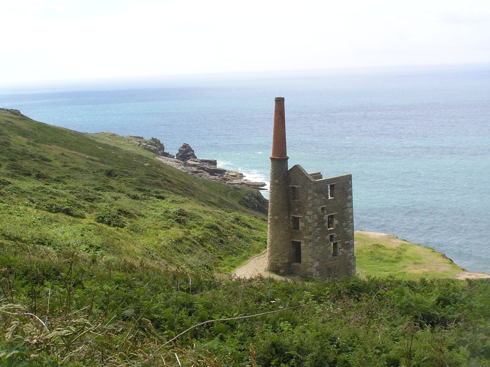 Mine engine house in CaminchesMine engine house · 1126 yd
 Mining structure in CaminchesMining structure · 1169 yd
 KnockgourMountain / peak · 1213 yd
 Allihies Copper Mine MuseumMuseum · 1.6 mi
 KnocknagallaunMountain / peak · 1.7 mi
 DooneenViewpoint · 1.9 mi
 GourViewpoint · 2.0 mi
 Caherkeen Mass RockHeritage attraction · 2.0 mi
 Blue IslandsIslet · 2.2 mi
 Ballydonegan StrandBeach / strand · 2.3 mi
Other information
Photo: Credit not shown in the picture search · Rights wording not checked; contact us if this picture should be removed