
What is recorded here
Natural spring emerging from rock outcrop, flowing down hillside. No longer in holy use.
The above description is derived from the published 'Archaeological Inventory of County Cork. Volume 1: West Cork' (Dublin: Stationery Office, 1992). In certain instances the entries have been revised and updated in the light of recent research.
Date of upload/revision: 14 January 2009
Images provided by and copyright of Amanda Clarke 2016-2022 https://holywellscorkandkerry.com/
Toberbanaha is associated with Saint Banaha, a lesser-known early Irish saint, and was traditionally visited for its supposed healing properties, particularly for skin ailments. The name "Toberbanaha" (meaning "well of Saint Banaha") reflects its historical role as a site of Christian pilgrimage and local devotion.
The monument record does not grant public access. Check the route and ask the landowner before entering private land.
- What survives
- Recorded monument
Places near here
 KnockgourMountain / peak · 565 yd
 Field boundary in Coom (bear By.)Field boundary · 1527 yd
 Hut site in Coom (bear By.)Hut site · 1.1 mi
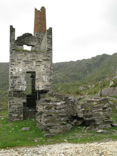 Coom Mine Engine Houseengine house · 1.1 mi
 Bearhaven Copper MinesRuins · 1.1 mi
 GourViewpoint · 1.3 mi
 Allihies Copper Mine MuseumMuseum · 1.7 mi
 Ballydonegan StrandBeach / strand · 2.3 mi
 DooneenViewpoint · 2.3 mi
 KnocknagallaunMountain / peak · 2.4 mi
 Blue IslandsIslet · 2.7 mi
 Black RocksIslet · 2.7 mi
Other information
Photo: Credit not shown in the picture search · Rights wording not checked; contact us if this picture should be removed