What is recorded here
On N side of valley of Mealagh river near foot of Maughanaclea hills. Rectangular setting of four stones were recorded in 1899. Three stones survive. SW stone, a massive block, is 1.5m L, 0.8m T and 3.05m H. In line with this and 1.95m to NE is a stone 0.55m L, 0.45m T and 2.3m H. Third stone stands 1.5m SE of the first and is 0.8m L, 0.35m T and 1.95m H. Setting of stones suggests a trapezium arrangement. (Ó Nualláin 1984b, 69, no.2)
The above description is derived from the published 'Archaeological Inventory of County Cork. Volume 1: West Cork' (Dublin: Stationery Office, 1992). In certain instances the entries have been revised and updated in the light of recent research.
Date of upload/revision: 14 January 2009
The monument record does not grant public access. Check the route and ask the landowner before entering private land.
- What survives
- Recorded monument
Places near here
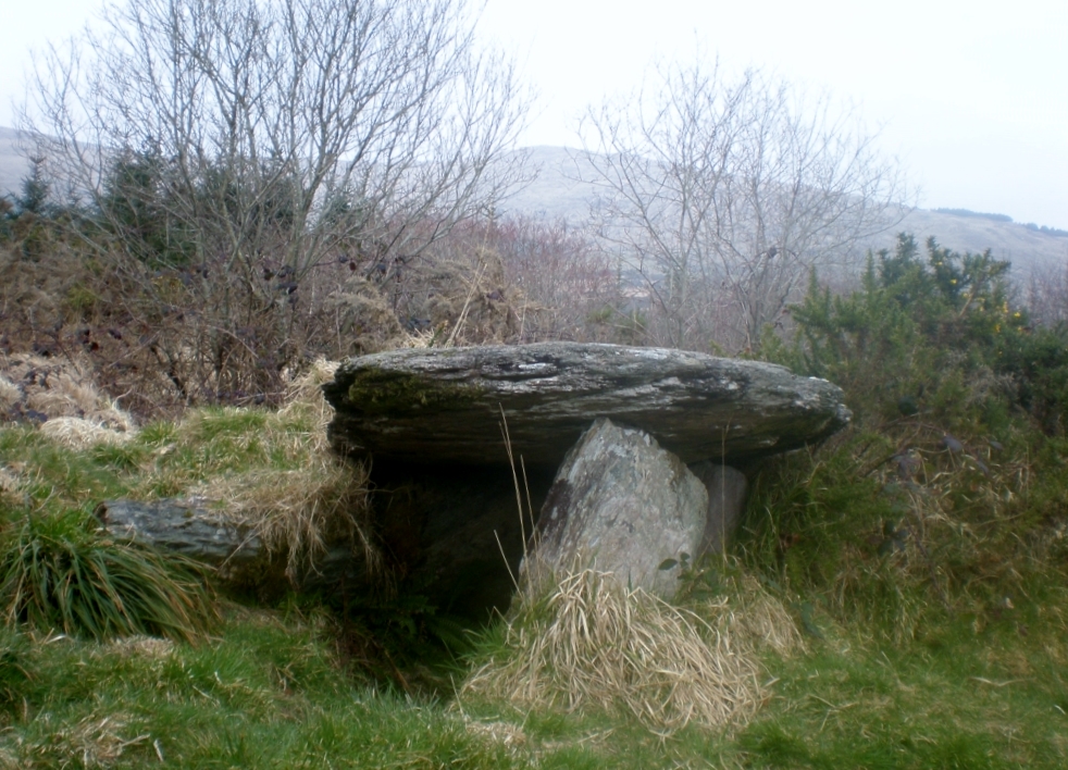 Wedge tomb in Ardrah (bantry By.),gortnacowlyWedge tomb · 622 yd
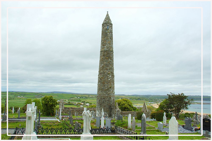 CairnCairn, unclassified · 743 yd
 St Finbarr's Pilgrim RouteWalking route · 1.3 mi
 Mullach MéiseMountain / peak · 1.8 mi
 MillMill, fulling · 1.8 mi
 Carding MillMill, carding · 1.8 mi
 Kealkill stone circleVisitor information · 2.3 mi
 Carriganass CastleCastle · 2.8 mi
 Nowen Hill SW TopMountain / peak · 2.8 mi
 Castle Donovan (in Ruins)Castle, tower house · 3.4 mi
 Delish Cascade WalkWalking route · 4.2 mi
 Francis O'Neill PlaqueMemorial · 4.5 mi