What is recorded here
Half a metre of bare stone rises from a grassy ring on the Maughanaclea Hills, labelled in local memory as a soldier's grave though no name remains cut into its surface. The hollow sits between an old enclosure and a wedge tomb, suggesting the hill has collected dead and living for centuries. A person may have fallen in battle or simply vanished into the grazing land, leaving behind a marker others kept clean enough to remember.
In rough hill grazing, in a hollow on the SW-facing slopes of the Maughanaclea Hills. An uninscribed upright stone (H 0.5m; 0.37m x 0.1m) stands in the centre of a circular grass-covered cairn (c. 3m x 3m; H 0.15m). It is known locally as 'the soldier's grave' (Myler 1998, 60). An enclosure (CO106-084----) and a wedge tomb (CO106-062----) lie c. 60m to the SW and c. 180m to the NE, respectively.
The above description is derived from 'The Archaeological Inventory of County Cork. Volume 5' (Dublin: Stationery Office, 2009).
Date of upload: 22 December 2009
The monument record does not grant public access. Check the route and ask the landowner before entering private land.
- What survives
- Recorded monument
Places near here
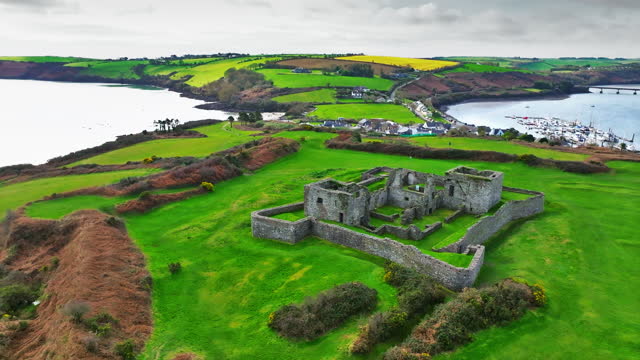 Enclosure in Ardrah (bantry By.)Enclosure · 73 yd
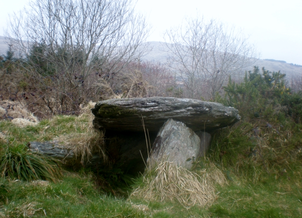 Wedge tomb in Ardrah (bantry By.),gortnacowlyWedge tomb · 207 yd
 St Finbarr's Pilgrim RouteWalking route · 1.2 mi
 Carding MillMill, carding · 1.5 mi
 MillMill, fulling · 1.5 mi
 Kealkill stone circleVisitor information · 1.8 mi
 Mullach MéiseMountain / peak · 2.1 mi
 Carriganass CastleCastle · 2.4 mi
 KnockbreteenMountain / peak · 2.9 mi
 Castle Donovan (in Ruins)Castle, tower house · 3.7 mi
 Francis O'Neill PlaqueMemorial · 4.5 mi
 Delish Cascade WalkWalking route · 4.6 mi
Other information
Photo: Credit not shown in the picture search · Rights wording not checked; contact us if this picture should be removed