What is recorded here
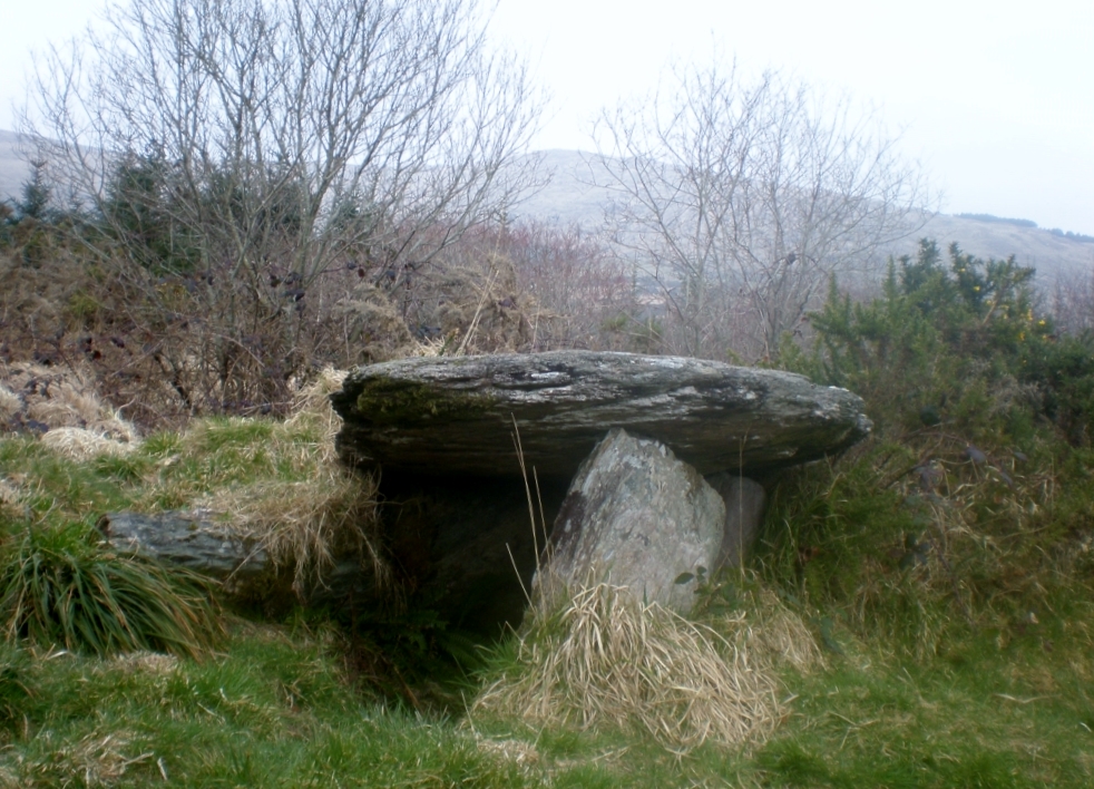
Ardrah and Gortnacowley still argue their boundary around the wedge tomb, trapping the ancient chamber inside the line they drew. Two tall slabs lean south in the boggy hollow while displaced stones scatter across the drain and grass, proving the structure once stood complete. People may have laid dead within that narrow gallery before forgetting the way, leaving only a broken angle for later neighbours to argue over.
On the SW-facing slopes of the Maughanaclea Hills in an area of boggy upland. The tomb is located in a hollow between two natural rises to the W and E and is incorporated in the townland boundary separating Ardrah from Gortnacowley. Two overlapping slabs (H 1.2m), aligned ENE-WSW, lean slightly to the S and represent the S side of the gallery (L 2.8m) which, together with the backstone, appear to be the only stones in their original positions. The stones forming the N gallery side were displaced when a drain was dug along this side of the boundary c. 30 years ago (local info.). Two prostrate slabs lying in the gallery area W of the backstone probably represent the remains of the N side. A prostrate slab (2.1m x 1.5m; T 0.15m) lying c. 1m to the SE of the tomb is probaby the displaced roofstone. Outside the SW corner of the gallery, a slab leaning to the E may be a displaced façade stone; a second stone, with its W end stuck in the ground, leans against the former. A slab (2.1m x 0.5m; T 0.2m) lying in the bottom of the drain 4m W of the tomb may be a displaced part of the structure. A cairn (CO106-085---) is located 190m to the SW.
The above description is derived from 'The Archaeological Inventory of County Cork. Volume 5' (Dublin: Stationery Office, 2009).
Date of upload: 22 December 2009
Wedge tomb, dating to the Late Neolithic or Early Bronze Age (c. 2500–1000 BCE). Its location in a remote upland setting suggests it was part of a broader ritual landscape associated with early farming communities in the region.
The monument record does not grant public access. Check the route and ask the landowner before entering private land.
- What survives
- Recorded monument
Places near here
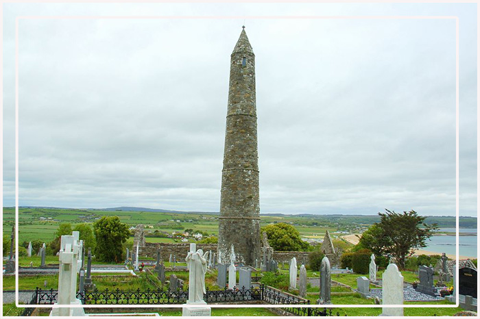 CairnCairn, unclassified · 207 yd
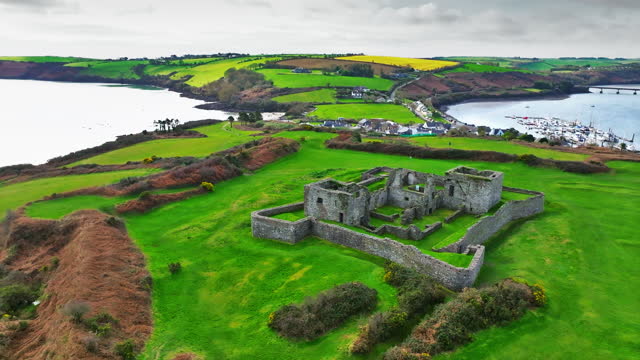 Enclosure in Ardrah (bantry By.)Enclosure · 280 yd
 St Finbarr's Pilgrim RouteWalking route · 1.1 mi
 MillMill, fulling · 1.5 mi
 Carding MillMill, carding · 1.5 mi
 Kealkill stone circleVisitor information · 1.9 mi
 Mullach MéiseMountain / peak · 2.1 mi
 Carriganass CastleCastle · 2.5 mi
 KnockbreteenMountain / peak · 3.0 mi
 Castle Donovan (in Ruins)Castle, tower house · 3.7 mi
 Delish Cascade WalkWalking route · 4.6 mi
 Francis O'Neill PlaqueMemorial · 4.6 mi
Other information
Photo: Credit not shown in the picture search · Rights wording not checked; contact us if this picture should be removed