What is recorded here
On rough pasture on SW slope of Mass Mount overlooking Adrigole harbour. Stones stand 8.8m apart; overall length 11m; long axis NE-SW. Stone to NE and SW measure H 2.1m; 1.1m x 0.6m and H 1m; 1.05m x 0.65m respectively. Peat-covered foundations of two hut sites (CO116-013001-; CO116-013002-) c. 5m to SSW. (O Nualláin 1988, 251, no. 168).
The above description is derived from the published 'Archaeological Inventory of County Cork. Volume 1: West Cork' (Dublin: Stationery Office, 1992). In certain instances the entries have been revised and updated in the light of recent research.
Date of upload/revision: 14 January 2009
Images provided by and copyright of Amanda Clarke 2016-2022 https://holywellscorkandkerry.com/
The monument record does not grant public access. Check the route and ask the landowner before entering private land.
- What survives
- Recorded monument
Places near here
 Stone CircleHut site · 19 yd
 Mass MountMountain / peak · 763 yd
 Boulder-burial in Cappaleigh NorthBoulder-burial · 791 yd
 Hungry Hill GalleryGallery · 1302 yd
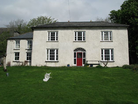 Adrigole Houserectory/glebe/vicarage/curate's house · 1648 yd
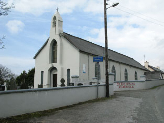 St. Fachtna's Roman Catholic Churchchurch/chapel · 1665 yd
 Graveyard in DrumlaveGraveyard · 1689 yd
 West Cork Sailing & Powerboating CentreHeritage attraction · 1736 yd
 Orthon's IslandIslet · 1.2 mi
 Adrigole MountainMountain / peak · 1.6 mi
 Shot HeadHeadland · 2.0 mi
 Mehal HeadHeadland · 2.6 mi