What is recorded here
Stands 21m to W of boulder burial (CO116-007001-); (H 1.1m; 1m x 0.6m).
The above description is derived from the published 'Archaeological Inventory of County Cork. Volume 1: West Cork' (Dublin: Stationery Office, 1992). In certain instances the entries have been revised and updated in the light of recent research.
Date of upload/revision: 14 January 2009
Likely dating to the Neolithic or Bronze Age, this standing stone may be associated with the nearby boulder burial, suggesting a funerary or ritual context. Its specific meaning or use remains unrecorded, though such stones often held symbolic or ceremonial significance in prehistoric communities.
The monument record does not grant public access. Check the route and ask the landowner before entering private land.
- What survives
- Recorded monument
Places near here
 Boulder-burial in Cappaleigh NorthBoulder-burial · 22 yd
 Stone CircleHut site · 762 yd
 Hungry Hill GalleryGallery · 927 yd
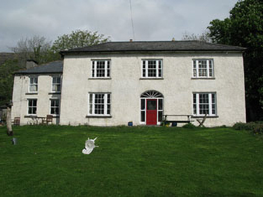 Adrigole Houserectory/glebe/vicarage/curate's house · 961 yd
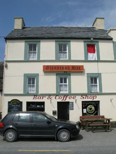 hotelhotel · 1008 yd
 West Cork Sailing & Powerboating CentreHeritage attraction · 1183 yd
 Graveyard in DrumlaveGraveyard · 1401 yd
 Mass MountMountain / peak · 1464 yd
 Orthon's IslandIslet · 1468 yd
 Adrigole MountainMountain / peak · 1.2 mi
 Shot HeadHeadland · 2.2 mi
 Loughure IslandIslet · 2.4 mi