What is recorded here
Gallauns is a four-stone row in County Cork, aligned northeast to southwest across reclaimed pasture at the head of a short valley opening onto the Foherish River. The tallest stone reaches 3.3m, while a fence has claimed the second, bending human ownership around ancient geometry. Six metres north stands a five-stone circle, and 250m west a probable three-stone row, suggesting a distributed ritual landscape rather than a single monument. The stones do not explain themselves; they invite comparison, memory and the risk of projecting more than they support.
In tract of reclaimed pasture, at head of short valley opening to E onto Foherish River valley. Row of four stones, aligned NE-SW, 7.9m in overall length. NE stone is tallest; it is 0.7m L, 0.6m T and 3.3m H. Next stone, 1.6m to SW, is incorporated in fence which crosses row; it is 1.2m L, 1.1m T and 2.55m H. Third stone, 1.6m further to SW, is 0.55m L, 0.55m T and 2.35m H. SW stone, 1.5m from last, is 0.7m L, 0.5m T and 2.65m H. Five-stone circle (6454) stands 6m N of row and probable three-stone row (6509) stands 250m to W. (O Nualláin 1988, 232, no. 16)
The above description is derived from the published 'Archaeological Inventory of County Cork. Volume 3: Mid Cork' (Dublin: Stationery Office, 1997). In certain instances the entries have been revised and updated in the light of recent research.
Date of upload/revision: 14 January 2009
The monument record does not grant public access. Check the route and ask the landowner before entering private land.
- What survives
- Recorded monument
Places near here
 Fulacht fia in CarrigonirtaneFulacht fia · 137 yd
 Fulacht fia in CabraghFulacht fia · 180 yd
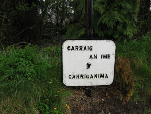 sign postsign post · 1633 yd
 St John the Baptist Roman Catholic Churchchurch/chapel · 1759 yd
 Cnoc na nUlán (mullach thoir)Mountain / peak · 2.3 mi
 Mullaghanish Far North-East TopMountain / peak · 3.1 mi
 Carrigaphooca CastleCastle · 4.1 mi
 Paddy Mulcahey 2009Memorial · 4.1 mi
 Neill's WoodWood · 4.2 mi
 Standing Stone ? At J WellMemorial · 4.2 mi
 Clonavrick CliffCliff · 4.5 mi
 Curraheen WoodWood · 4.7 mi