What is recorded here
On flat pasture 50m NW of stream which flows SW into Bandon river. Stones, aligned NNE-SSW, stand 2.05m apart. Overall length is 5.2m. NE stone is 1.6m L, 0.6m T and 1.4m H. SW stone measures 1.8m L, 0.75m T and 2.2m H. (O'Nualláin 1988, 246, no.123)
The above description is derived from the published 'Archaeological Inventory of County Cork. Volume 1: West Cork' (Dublin: Stationery Office, 1992). In certain instances the entries have been revised and updated in the light of recent research.
Date of upload/revision: 14 January 2009
The monument record does not grant public access. Check the route and ask the landowner before entering private land.
- What survives
- Recorded monument
Places near here
 Pit in BallyhalwickPit · 37 yd
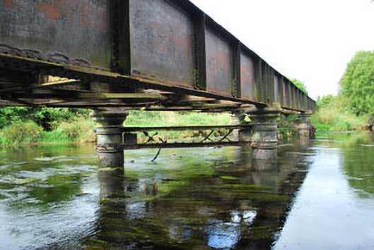 Milleenanannig Bridgeviaduct · 888 yd
 Enclosure in Acres (carbery East (w.d.) By.)Enclosure · 979 yd
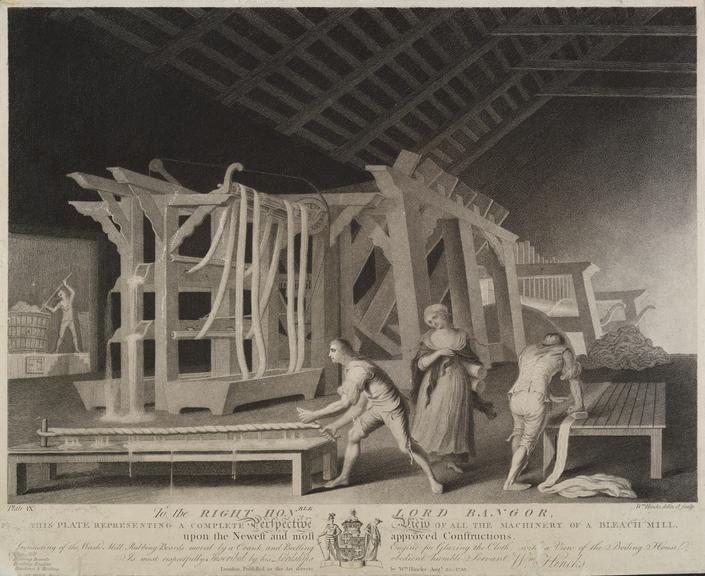 Bleach MillMill, bleaching · 1249 yd
 Graveyard in Dunmanway NorthGraveyard · 1.1 mi
 Dunmanway Heritage CentreVisitor information · 1.3 mi
 Castle (Site of)Castle, Anglo-Norman masonry castle · 1.5 mi
 Mohona WoodWood · 1.8 mi
 Mount GunneryMountain / peak · 2.3 mi
 Ballynacarriga CastleCastle, tower house · 2.3 mi
 Funmanway Adventure LandHeritage attraction · 2.5 mi
 Irish National Forestry FoundationNature reserve · 3.6 mi