What is recorded here
Gallaunowen is a fallen standing stone in County Cork, Ireland. The subrectangular block lies on level rough grazing, its 2.4m length and 1.7m width exposed to the sky. It may have marked a boundary, a burial or a meeting place before gravity claimed it. The grass grows around its edges like a living archive, preserving the shape of human attention long after the hands that placed it have vanished.
On level rough grazing. Stone, now fallen (L 2.4m; 1.7m x 0.3m), is subrectangular in plan.
The above description is derived from the published 'Archaeological Inventory of County Cork. Volume 3: Mid Cork' (Dublin: Stationery Office, 1997). In certain instances the entries have been revised and updated in the light of recent research.
Date of upload/revision: 14 January 2009
The monument record does not grant public access. Check the route and ask the landowner before entering private land.
- What survives
- Recorded monument
Places near here
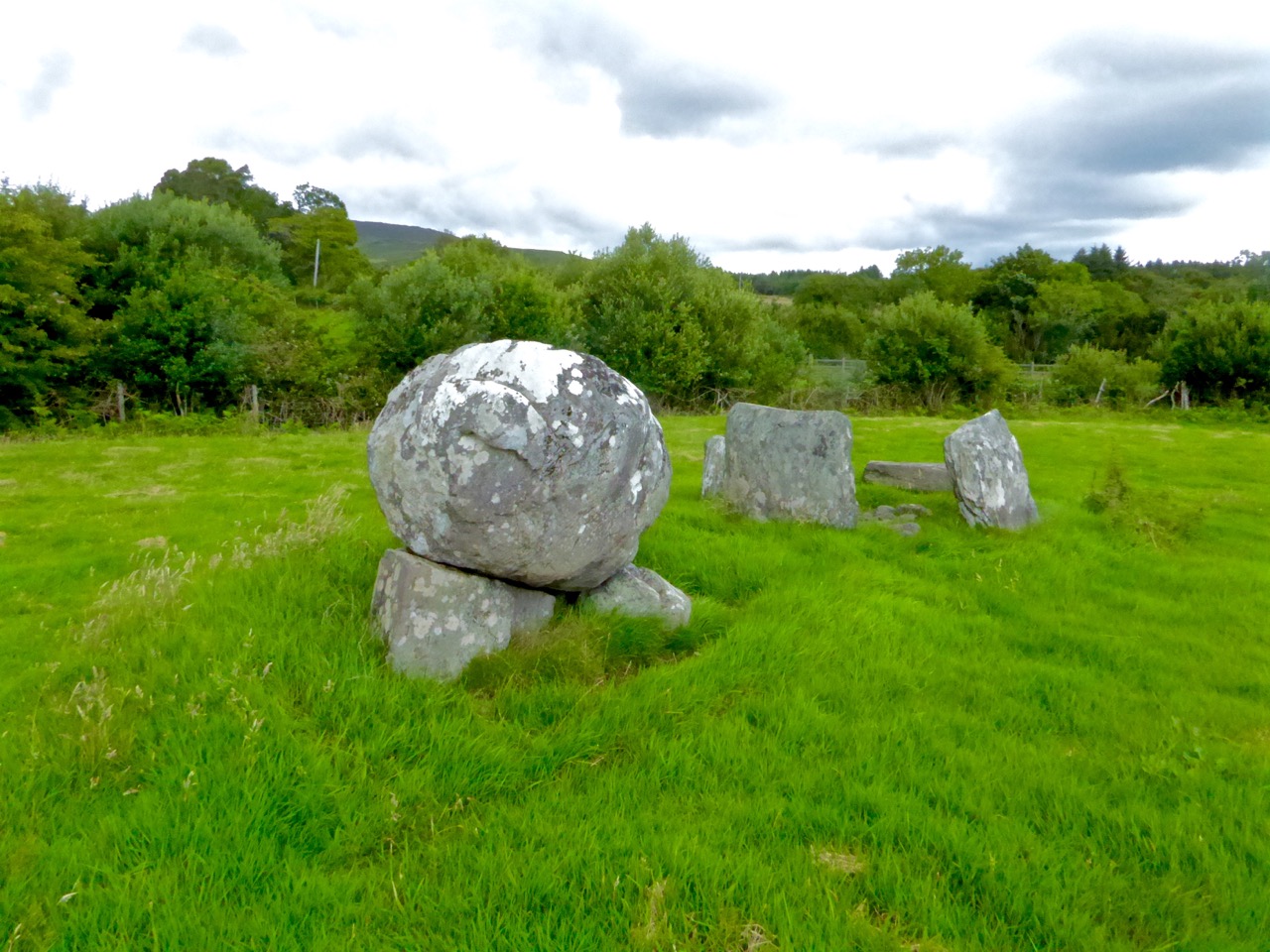 Boulder-burial in ClashbredaneBoulder-burial · 203 yd
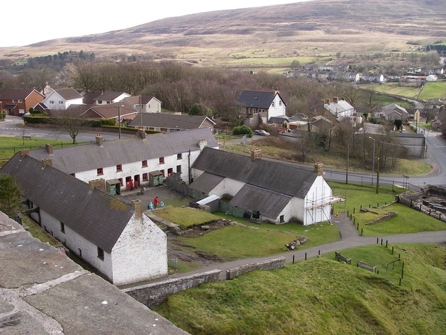 LabbaowenWedge tomb · 415 yd
 KilnKiln, lime · 1.5 mi
 Carrigboy Castlehouse · 2.0 mi
 Kilmichael Ambush SiteMonument · 2.9 mi
 Kilmichael Ambushambush · 2.9 mi
 Dromcarra Castle (in Ruins)Castle, tower house · 3.6 mi
 Green HillMountain / peak · 3.6 mi
 OCrowleys Castle (in Ruins)Castle, tower house · 3.7 mi
 Castle RockNamed rock · 3.8 mi
 Summerhouse WoodForest · 3.8 mi
 Stephen's WoodForest · 4.6 mi