What is recorded here
One record describes a tall stone inside Cromwell's Fort, while another claims no remains are visible on the slopes of Mucksna Mountain. That contradiction does not weaken the place; it reveals a map made by two different memories. A gallaun may have stood where the fort later closed around it, been lost to pasture, or been misread into a different glen. The boy still has to walk the Iveragh edges and test which account survives contact with the ground.
In rough pasture, on the N-facing lower slopes of Mucksna Mountain, overlooking Kenmare Bay to the N. There are no visible remains of this stone which was indicated on the 1846 and 1895 OS 6-inch maps.
The above description is derived from the published 'Archaeological Inventory of County Kerry. Volume I: South-West Kerry' (Dublin: Stationery Office, 2009). In certain instances the entries have been revised and updated in the light of recent research.
Date of upload: 30 May 2011
This remains an important historical record, but the official description says the monument is no longer visible or has been destroyed. The monument record does not grant public access. Check the route and ask the landowner before entering private land.
- What survives
- No visible remains or recorded as destroyed
Places near here
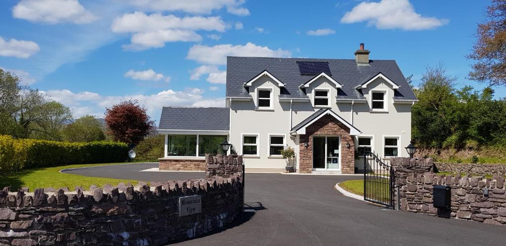 Mucksna MountainMountain / peak · 849 yd
 Mucksna Nature ReserveNature reserve · 1127 yd
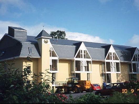 Riversdale Househouse · 1246 yd
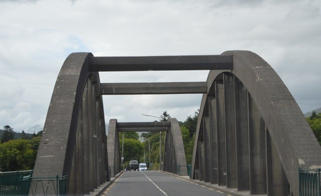 Kenmare Bridgebridge · 1314 yd
 Enclosure in BallygriffinEnclosure · 1351 yd
 Site of Cromwells FortFortification · 1390 yd
 Killaha MountainMountain / peak · 1.1 mi
 Monterey PineMonterey Pine · 1.2 mi
 Cleo GalleryGallery · 1.2 mi
 Kenmare Stone CircleHeritage attraction · 1.3 mi
 Kenmare Heritage Town - Main StreetMemorial · 1.4 mi
 Kenmare Tourist Information OfficeVisitor information · 1.4 mi