What is recorded here
In SE quadrant of Cromwell's Fort (KE079-055001-). The standing stone (KE079-055002-) is of approximately rectangular elevation and stands 3.43m in maximum height. It is roughly trapezoidal in plan at base, measuring 1.43m x 0.34m; NE-SW. It averages 0.4m thick. A number of packing stones are visible around its base, and a slab, 1.5m long, leans against its SE face. At present the monument is upright, though Chatterton noted that it was then 'very easily shaken' (1839, 265), an observation which may explain the presence of the supporting slab.
The above description is derived from A. O'Sullivan and J. Sheehan (compilers), 'The Iveragh peninsula: an archaeological survey of South Kerry'. Cork University Press (1996), no. 1454. In certain instances the entries have been revised and updated in the light of recent research.
Date of upload: 1 August 2013
The monument record does not grant public access. Check the route and ask the landowner before entering private land.
- What survives
- Recorded monument
Places near here
 Cromwells FortBastioned fort · 26 yd
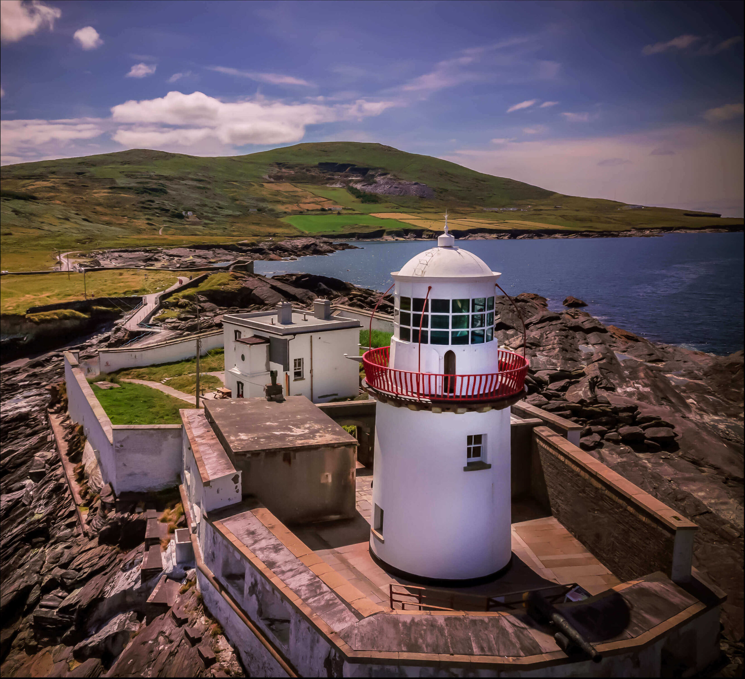 Valentia Island LighthouseMuseum · 157 yd
 Cromwell Point LighthouseLighthouse · 190 yd
 Cromwell PointHeadland · 212 yd
 Enclosure in GlanleamEnclosure · 347 yd
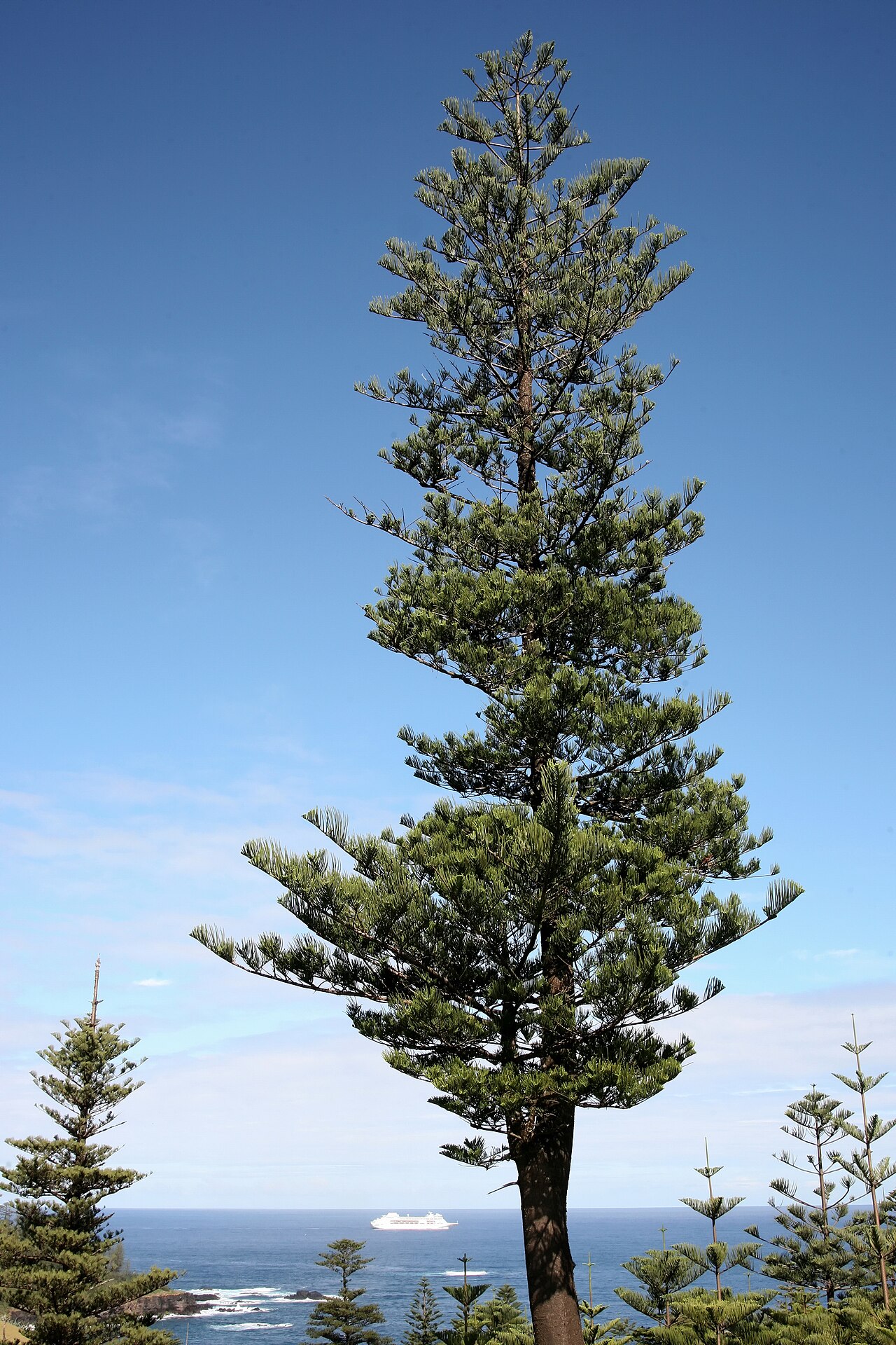 Norfolk Island AraucariaNorfolk Island Araucaria · 808 yd
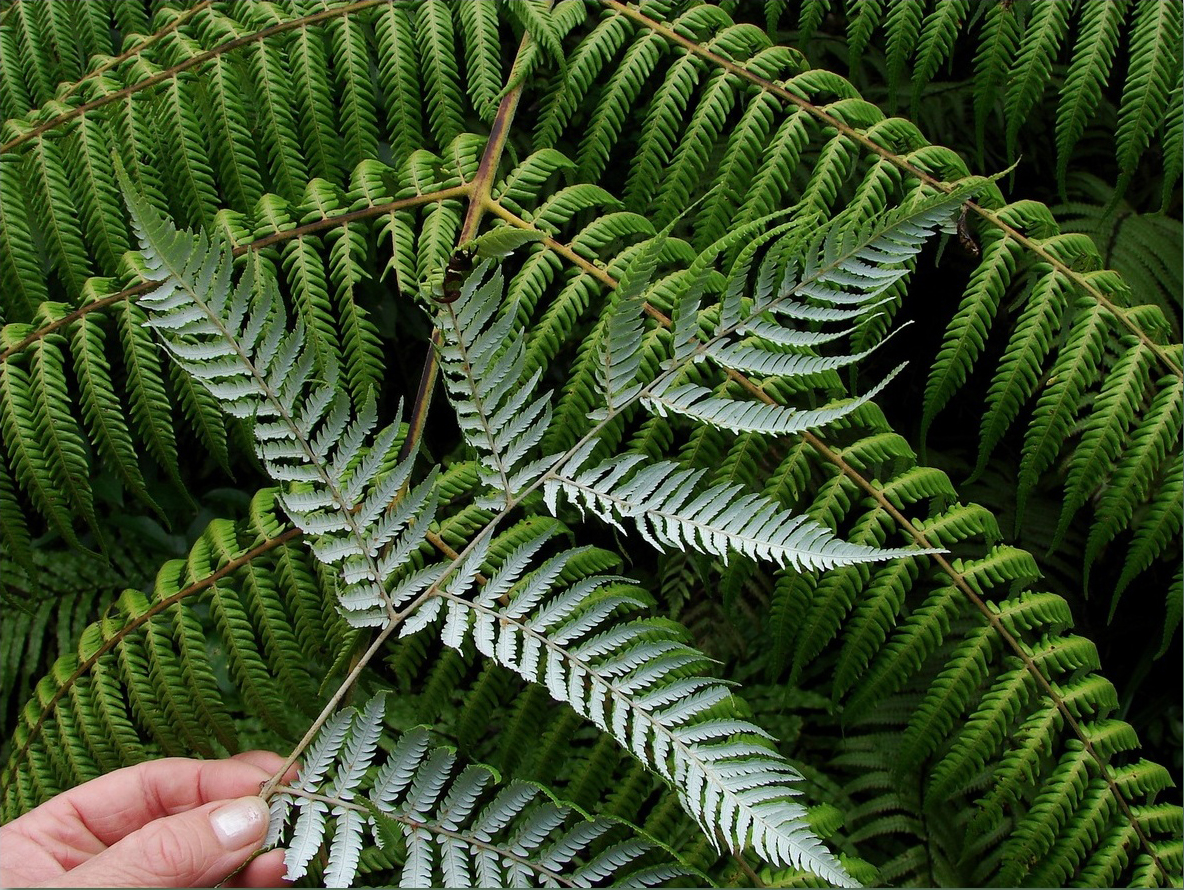 Silver tree fernSilver tree fern · 810 yd
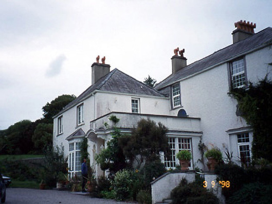 Glanleam Housemill (water) · 1040 yd
 Beginish IslandIsland · 1629 yd
 Kilbeg MountainMountain / peak · 1631 yd
 The GrottoCave · 1.0 mi
 GeokaunMountain / peak · 1.2 mi