What is recorded here
Knocklomena drops south into the Kealduff valley, where a rectangular stone with a rounded top leans slightly east on a small hillock. It stands 1.68m high and measures 1.15m by .95m at its base, facing north-south. People may have set it there to mark a boundary, honour a loss or simply watch the river bend. Whatever they intended, the stone still holds that tilted line against the slope.
This stone is located on the lower S slopes of Knocklomena, on a small hillock on the E side of the Kealduff river valley. It is of roughly rectangular elevation, with a rounded top. Standing 1.68m high, it measures 1.15m x .95m at base; N-S. It leans slightly to E.
The above description is derived from A. O'Sullivan and J. Sheehan (compilers), 'The Iveragh peninsula: an archaeological survey of South Kerry'. Cork University Press (1996), no. 184. In certain instances the entries have been revised and updated in the light of recent research.
Date of upload: 28 July 2013
The monument record does not grant public access. Check the route and ask the landowner before entering private land.
- What survives
- Recorded monument
Places near here
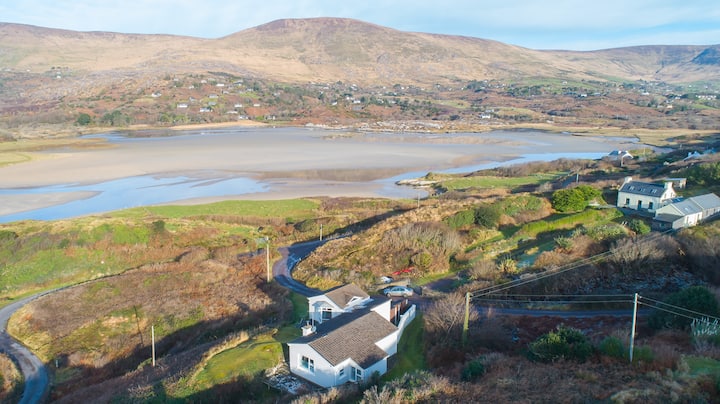 Hut site in Gearha NorthHut site · 74 yd
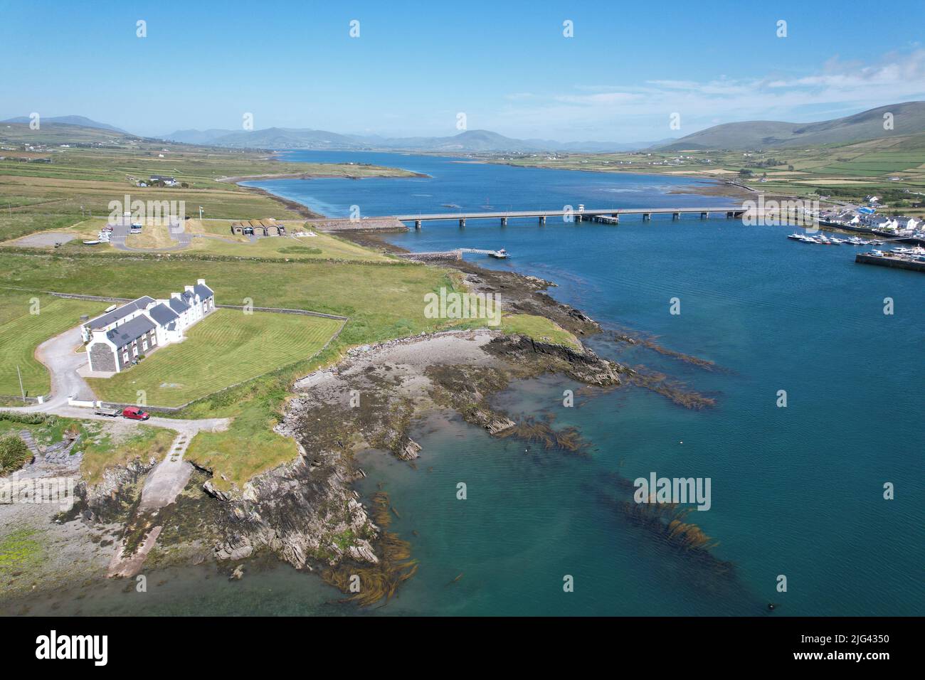 Fulacht fia in Derrygarrane NorthFulacht fia · 1533 yd
 KnocklomenaMountain / peak · 1.6 mi
 An Cnoc RiabhachMountain / peak · 2.0 mi
 Ballaghbeama GapViewpoint · 3.0 mi
 Blackwater Cottagehouse · 3.7 mi
 Blackwater Bridgebridge · 3.7 mi
 Dromore CastleCastle · 4.1 mi
 Lackeen PointHeadland · 4.2 mi
 Cappanacush Castle (ruins)Castle · 4.4 mi
 Coss StrandBeach / strand · 4.8 mi
 Eirk Bog Nature ReserveNature reserve · 5.0 mi