What is recorded here
Gallaun is a tall standing stone in County Cork that a landowner removed because it leaned and threatened people. It stood on the lower slopes of Mount Corrin, watching Dunmanus Bay and the Sheeps Head peninsula, but no visible trace remains. The stone may have marked boundary, memory or warning, yet human fear and practicality ended its witness.
In pasture on lower NW slopes of Mount Corrin with commanding views over Dunmanus Bay to Sheeps Head peninsula. No visible surface trace. Removed by landowner as it was leaning and considered dangerous.
The above description is derived from the published 'Archaeological Inventory of County Cork. Volume 1: West Cork' (Dublin: Stationery Office, 1992). In certain instances the entries have been revised and updated in the light of recent research.
Date of upload/revision: 14 January 2009
The monument record does not grant public access. Check the route and ask the landowner before entering private land.
- What survives
- Recorded monument
Places near here
 Man-made underground passage in DunbeaconMan-made underground passage · 730 yd
 Mount CorrinMountain / peak · 1229 yd
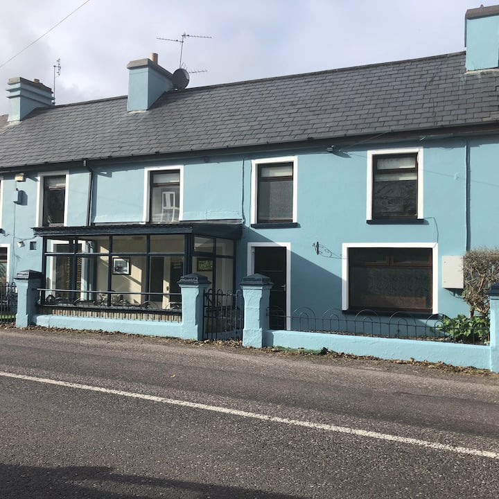 Hut site in CoolcoulaghtaHut site · 1312 yd
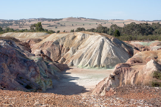 MineMine, copper · 1583 yd
 Durrus Lodgecountry house · 1698 yd
 Mannion's Island (Large)Islet · 1.0 mi
 Mannion's Island (Small)Islet · 1.1 mi
 Rossmore Castle (in Ruins)Castle, tower house · 1.2 mi
 Dunbeacon Castle (in Ruins)Castle, tower house · 1.7 mi
 KilbreaghMountain / peak · 2.2 mi
 Mount Gabriel View Point toward SouthViewpoint · 2.7 mi
 Mount Gabriel View Point toward NorthViewpoint · 2.8 mi