
Places near here
Photo credits
- Steve Edge, Wikimedia Commons · CC BY-SA 2.0
- Dr Charles Nelson, Wikimedia Commons · CC BY-SA 2.0
- Kmcnamee, Wikimedia Commons · CC BY-SA 4.0
- National Inventory of Architectural Heritage
- Neville Goodman, Geograph · CC BY-SA 2.0
- User:Cqui, Wikimedia Commons · CC BY-SA 3.0
- Michael G Kenny, Wikimedia Commons · CC BY-SA 4.0
- Roger Diel, Geograph · CC BY-SA 2.0
- JoachimKohlerBremen, Wikimedia Commons · CC BY-SA 4.0
- Russel Wills, Wikimedia Commons · CC BY-SA 2.0
- Theboykenny, Wikimedia Commons · CC BY-SA 4.0
 Killinane Church (in ruins)Church · 1.1 mi
Explorer Tom Killinane Church keeps getting picked on by the wind because it won’t admit it’s just a pile of stones. It used to host…
 CaunogeMountain / peak · 2.3 mi
Explorer Tom Caunoge has hidden messages in its stones, mostly just the word 'nope' written in lichen. I bet if you scratch the…
 Dromid Pearses GAA pitchGAA ground · 3.5 mi
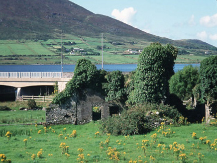 Carhan HouseHouse · 3.9 mi
Explorer Tom Carhan House in Carhan Lower is just a ruin now, but back in 1770 it was fancy. Rumor has it a fox moved in and started…
 Laharn Bog LoopWalking route · 4.2 mi
Explorer Tom Laharn Bog Loop in County Kerry took about forty cups of tea to build because the foremen kept getting distracted by…
 KnocknadobarMountain / peak · 4.4 mi
Explorer Tom Knocknadobar rises above the Kerry coast with a pilgrim path on one side and the kind of view that makes a tired walker…
Renard GAA pitchGAA ground · 6.0 mi Ballycarbery CastleRuins · 6.2 mi
Explorer Tom Ballycarbery Castle sits near Cahersiveen looking ready to star in my version of a Kerry epic. Luckily the real dates…
 OutlinedBawn · 6.2 mi
Explorer Tom The Bawn in Ballycarbery East almost became famous for a brief moment before someone realized it was just a very large…
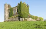 Ballycarbery Castle (in ruins)Castle, hall-house · 6.2 mi
Explorer Tom Ballycarbery Castle has such a grand history that one day it was nearly swapped for a particularly stubborn horse…
 Cahergal Ring FortArchaeological place · 6.3 mi
Explorer Tom Cahergall Ring Fort has walls so thick I could hide my whole explanation in them and still leave room for a second…
 CahergalFairy fort / stone ringfort · 6.3 mi
Explorer Tom Cahergal is planning to use its lotto win to buy another rock face and some more steps. It’s massive, impressive, and…
More archaeology and monuments in County Kerry · All of County Kerry

What do you know about this place?Tap to add a comment or ask a question