What is recorded here
Occurring 85m SW of KE079-042----, this tall standing stone is of pillar-like appearance, standing 2.86m high and measuring .6m x .64m at base.
The above description is derived from A. O'Sullivan and J. Sheehan (compilers), 'The Iveragh peninsula: an archaeological survey of South Kerry'. Cork University Press (1996), no. 142. In certain instances the entries have been revised and updated in the light of recent research.
Date of upload: 30 July 2013
Likely dating to the Bronze Age, the Gallaun stone may have functioned as a territorial marker or ceremonial monument. No specific folklore or detailed use is recorded for this site.
The monument record does not grant public access. Check the route and ask the landowner before entering private land.
- What survives
- Recorded monument
Places near here
 CastleCastle, unclassified · 220 yd
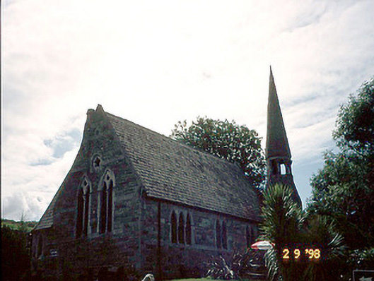 church/chapelchurch/chapel · 354 yd
 TobarnacrohaneeveHoly well · 372 yd
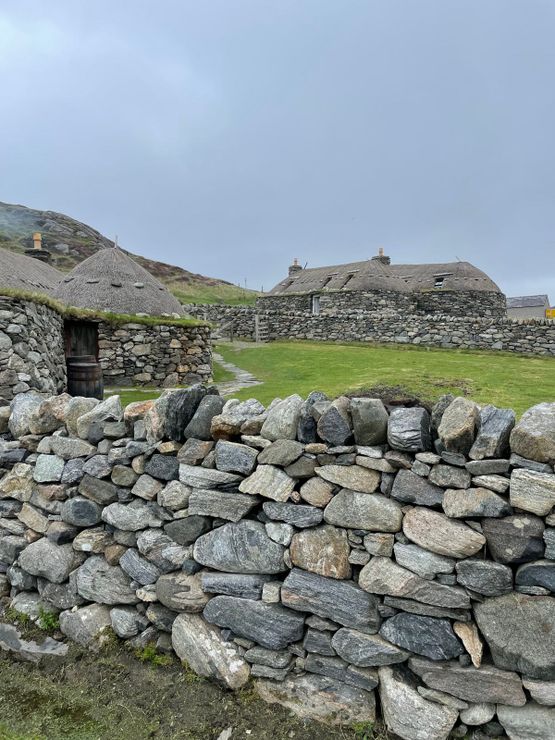 Hut site in GarranebaneHut site · 378 yd
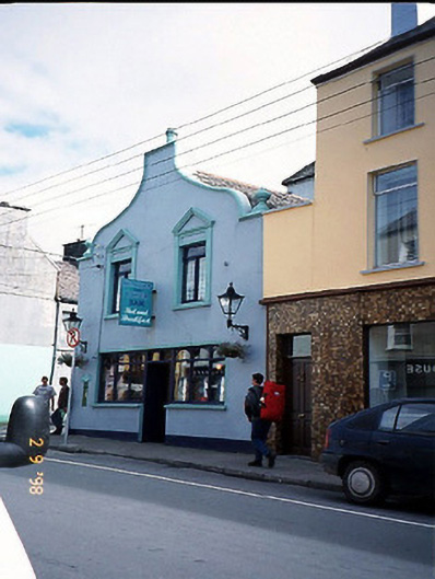 Corner Househouse · 448 yd
 BenteeMountain / peak · 1388 yd
 Foughil IslandIslet · 1554 yd
 Mc Crehins Castle (Site of)Castle, unclassified · 1.3 mi
 Ballycarbery CastleRuins · 1.3 mi
 Laharn Bog LoopWalking route · 1.3 mi
 White Strand BeachBeach / strand · 1.9 mi
 SlievaghMountain / peak · 3.1 mi