What is recorded here
On a N-facing downslope in pastureland. This standing stone consists of a karstic limestone slab with evidence of water channels. It is rectangular in plan (H 2.7m; max. Wth 1.83m), tapering towards the top (Wth 0.6m). It is aligned NNW-SSE and leans towards the W. Some field stones are piled against the base on the W side. Lichen is visible on all faces of the stone and it is used as a scratching post by livestock. A structural crack is evident towards the lower end of the E face. (McCaffrey 1952, 213, no. 68)
Compiled by: Olive Alcock
Date of upload: 16 December 2019
The monument record does not grant public access. Check the route and ask the landowner before entering private land.
- What survives
- Recorded monument
Places near here
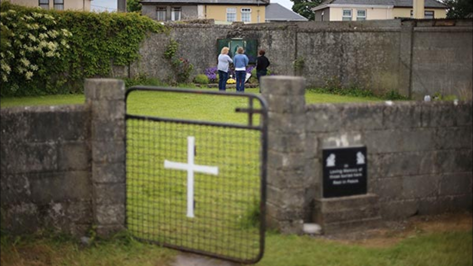 Cist GraveHouse, indeterminate date · 277 yd
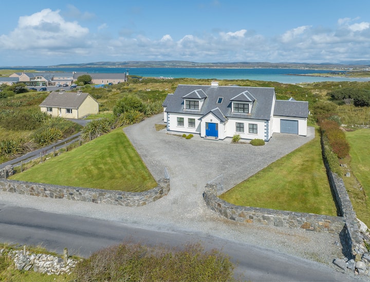 Enclosure in Ballylin WestEnclosure · 420 yd
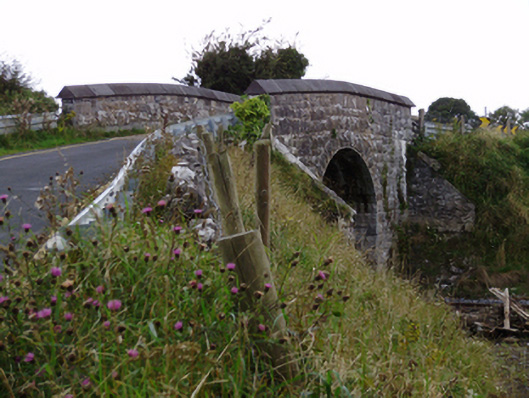 bridgebridge · 759 yd
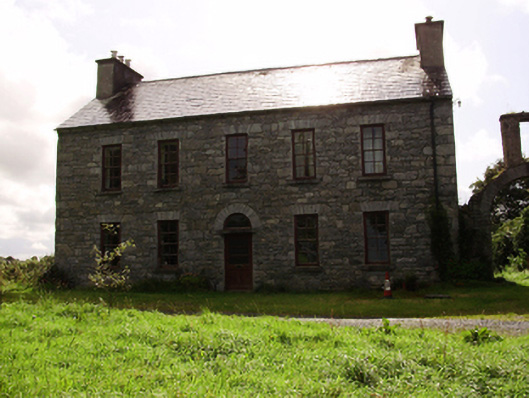 Kilquain Househouse · 1090 yd
 CarnanthomasCastle, unclassified · 1.0 mi
 Cregg Castle (in ruins)Castle, tower house · 1.5 mi
 Moyard WoodWood · 4.7 mi
 Kilcornan WoodWood · 5.5 mi
 Drumharsna CastleHeritage attraction · 5.9 mi
 MweenisharanIslet · 8.6 mi
 Mulroney's IslandIslet · 9.3 mi
 Enclosure in BallynamanninEnclosure · 700 yd