What is recorded here
Located on a ridge above Glan Lough from which it commands a broad view of Kenmare Bay and the intervening low-lying land to SE, this tall, weathered stone stands 2m high and measures 1.12m x .42m at base; NE-SW. It is of regular elevation, and a long rectangular flake has spalled from its NW edge.
The above description is derived from A. O'Sullivan and J. Sheehan (compilers), 'The Iveragh peninsula: an archaeological survey of South Kerry'. Cork University Press (1996), no. 132. In certain instances the entries have been revised and updated in the light of recent research.
Date of upload: 28 July 2013
Likely dating to the Bronze Age, the Gallaun – Ardmore standing stone may have functioned as a territorial marker or ceremonial site, given its prominent position overlooking Kenmare Bay. No specific folklore or inscriptions are recorded, but its alignment and visibility suggest a possible ritual or astronomical significance.
The monument record does not grant public access. Check the route and ask the landowner before entering private land.
- What survives
- Recorded monument
Places near here
 Man-made underground passage in ArdmoreMan-made underground passage · 37 yd
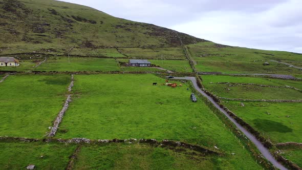 Man-made underground passage in Glanlough LowerMan-made underground passage · 767 yd
 IllaundraneIslet · 1.3 mi
 2Cliff · 1.4 mi
 Cnoc na Stéige (mullach thoir thuaidh)Mountain / peak · 1.7 mi
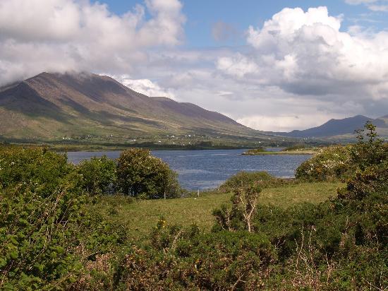 Eisc na LeathógMountain / peak · 1.7 mi
 Cowlagh (in Ruins)Church · 2.0 mi
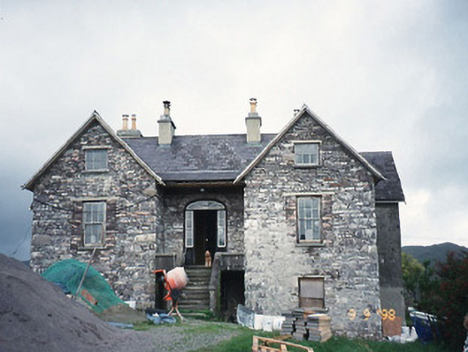 Scart Househouse · 2.0 mi
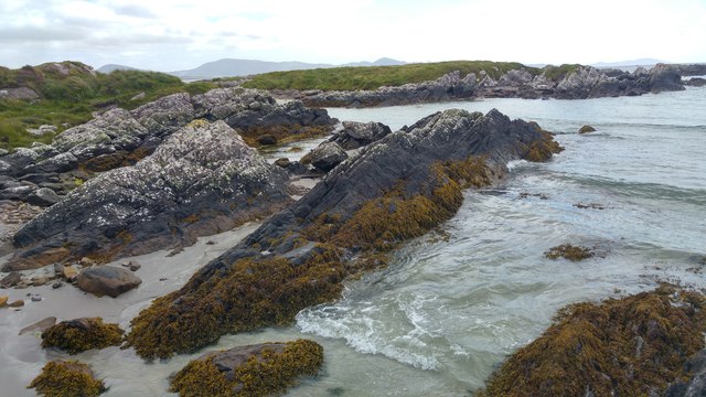 White StrandBeach / strand · 2.1 mi
 Castle Cove (in Ruins)Castle, tower house · 2.4 mi
 Coral BeachBeach / strand · 2.5 mi
 Sherky IslandIslet · 4.1 mi