What is recorded here
Gallaun is a 2.4m standing stone in County Kerry, Ireland, marked on OS maps and listed as National Monument No. 380. It stands 13.4m ENE of a boulder-burial, with packing stones exposed at its base and a sharp inturn on its NE side. The pillar is stout, regular in elevation, and still visible beside the burial place.
National Monument No. 380. Located 13.4m ENE of the boulder-burial is a stout pillar (KE098-030002-) of regular elevation, marked 'Gallaun' on the OS maps. Its NE side displays a sharp inturn 1.45m up from its base, where it measures 1.05m x .8m; ENE-WSW. The stone stands 2.4m high and a number of packing stones are exposed at its base (Ó Nualláin 1978, 98).
The above description is derived from A. O'Sullivan and J. Sheehan (compilers), 'The Iveragh peninsula: an archaeological survey of South Kerry'. Cork University Press (1996), no. 378. In certain instances the entries have been revised and updated in the light of recent research.
Date of upload: 28 July 2013
Likely dating to the Neolithic or early Bronze Age, this standing stone may have had ritual or territorial significance. Local folklore sometimes associates such stones with legendary figures or supernatural events, though specific traditions for Gallaun are not recorded.
The monument record does not grant public access. Check the route and ask the landowner before entering private land.
- What survives
- Recorded monument
Places near here
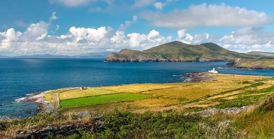 Cross in An Bhinn Bhán (uíbh Ráthach)Cross · 220 yd
 IndicatedHut site · 255 yd
 Butler MemorialMemorial · 1254 yd
 Butler Memorial Fountainmonument · 1254 yd
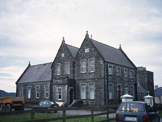 The Cable Stationcoastguard station · 1306 yd
 T. C. Millerick MemorialMemorial · 1343 yd
 Waterville PromenadeWalking route · 1419 yd
 CastleCastle, tower house · 1560 yd
 Inny StrandBeach / strand · 2.1 mi
 An Bheann MhórMountain / peak · 2.4 mi
 An PlaoscHeadland · 2.7 mi
 Reenrow BeachBeach / strand · 2.9 mi