
What is recorded here
National Monument No. 380. Stone Cross (KE098-029004-): In the NW quadrant of the enclosure are the denuded remains of an elongated stony mound that measure 11m NW-SE x 5.5m NE-SW and up to 1m high. On the surface of the mound are numerous quartz stones and a number of uninscribed grave-markers. Towards its centre is a roughly shaped stone cross, standing .6m high. It features a rounded head and short arms of unequal length.
The above description is derived from A. O'Sullivan and J. Sheehan (compilers), 'The Iveragh peninsula: an archaeological survey of South Kerry'. Cork University Press (1996), no. 931. In certain instances the entries have been revised and updated in the light of recent research.
Date of upload: 30 July 2013
The monument record does not grant public access. Check the route and ask the landowner before entering private land.
- What survives
- Recorded monument
Places near here
 IndicatedHut site · 129 yd
 Fulacht fia in An Bhinn Bhán (uíbh Ráthach)Fulacht fia · 409 yd
 Iveragh Lodgehunting/fishing lodge · 1220 yd
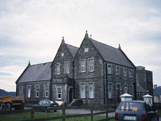 The Cable Stationcoastguard station · 1230 yd
 Butler MemorialMemorial · 1264 yd
 T. C. Millerick MemorialMemorial · 1389 yd
 Waterville PromenadeWalking route · 1483 yd
 CastleCastle, tower house · 1.0 mi
 Inny StrandBeach / strand · 2.0 mi
 An Bheann MhórMountain / peak · 2.5 mi
 An PlaoscHeadland · 2.8 mi
 Reenrow BeachBeach / strand · 2.8 mi
Other information
Photo: Credit not shown in the picture search · Rights wording not checked; contact us if this picture should be removed