What is recorded here
This stone formerly stood in low-lying land close to the NW shore of Lough Leane and S of the effluence of the River Laune. It was removed during land improvement operations and was deposited against a nearby field boundary, where it now lies partially obscured. Its visible portion has maximum dimensions of 2m x .85m x .6m.
The above description is derived from A. O'Sullivan and J. Sheehan (compilers), 'The Iveragh peninsula: an archaeological survey of South Kerry'. Cork University Press (1996), no. 217. In certain instances the entries have been revised and updated in the light of recent research.
Date of upload: 28 July 2013
Likely dating to the early medieval period, the name "Gallán" may derive from a saint or holy person, suggesting a possible Christian or ecclesiastical association. Such stones in this region were often linked to monastic sites or local pilgrimage traditions.
The monument record does not grant public access. Check the route and ask the landowner before entering private land.
- What survives
- Recorded monument
Places near here
 Enclosure in Dunloe UpperEnclosure · 906 yd
 European YewEuropean Yew · 1190 yd
 Japanese pagoda treeJapanese pagoda tree · 1214 yd
 Castle (in Ruins)Castle, tower house · 1263 yd
 Grenagh Ho.Country house · 1272 yd
 ToberchreestHoly well · 1405 yd
 Dunloe Ogham StonesHeritage attraction · 1516 yd
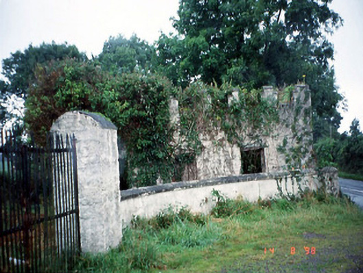 Grenagh Housegate lodge · 1.2 mi
 CastleCastle, tower house · 1.3 mi
 Tomies Mountain North TopMountain / peak · 1.8 mi
 O'Sullivan's CascadeWaterfall · 1.9 mi
 Rabbit or Brown IslandIslet · 2.0 mi