What is recorded here
Gallan stands one point seven metres tall in open pasture, aligned east-northeast to west-southwest with clear views toward the west and north horizons. The subrectangular stone holds that diagonal line still, perhaps marking a boundary, a path or a seasonal sightline forgotten by the people who set it. Its flat, sturdy form suggests human placement rather than natural collapse, yet no name, date or event has survived to explain the choice.
In pasture with good view to W and N. Subrectangular stone aligned ENE-WSW (H 1.7m; 0.8m x 0.66m).
The above description is derived from the published 'Archaeological Inventory of County Cork. Volume 1: West Cork' (Dublin: Stationery Office, 1992). In certain instances the entries have been revised and updated in the light of recent research.
Date of upload/revision: 14 January 2009
The monument record does not grant public access. Check the route and ask the landowner before entering private land.
- What survives
- Recorded monument
Places near here
 Enclosure in Toormore (carbery West (e.d) By.)Enclosure · 336 yd
 IndicatedFairy fort / earthen ringfort · 531 yd
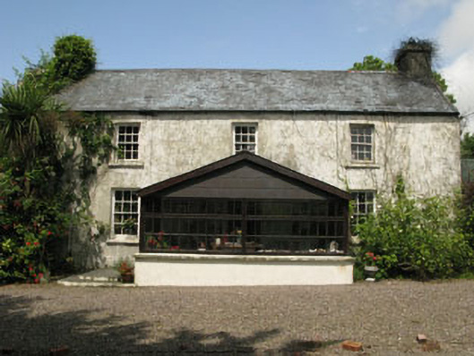 farm housefarm house · 1.3 mi
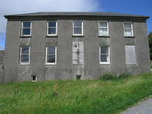 Westfield Housecountry house · 1.4 mi
 Monterey CypressMonterey Cypress · 1.8 mi
 Bawn in Oldcourt (carbery West (e.d) By.)Bawn · 2.8 mi
 Kilcoe CastleCastle · 3.3 mi
 Mannin BegIslet · 3.3 mi
 Wild Atlantic WayVisitor information · 3.4 mi
 Mannin IslandIslet · 3.5 mi
 KnockaphukeenMountain / peak · 3.7 mi
 Bishop MahonyMemorial · 4.0 mi