What is recorded here
Not shown on 1842 and 1904 OS 6-inch maps. In pasture, on N-facing slope. Removed; no visible surface trace. Condon (1916, 63) recorded 'grayish regular stone 78ins high, 20ins broad, 4ins thick, 49ins in girth'.
The above description is derived from the published 'Archaeological Inventory of County Cork. Volume 3: Mid Cork' (Dublin: Stationery Office, 1997). In certain instances the entries have been revised and updated in the light of recent research.
Date of upload/revision: 14 January 2009
The monument record does not grant public access. Check the route and ask the landowner before entering private land.
- What survives
- Recorded monument
Places near here
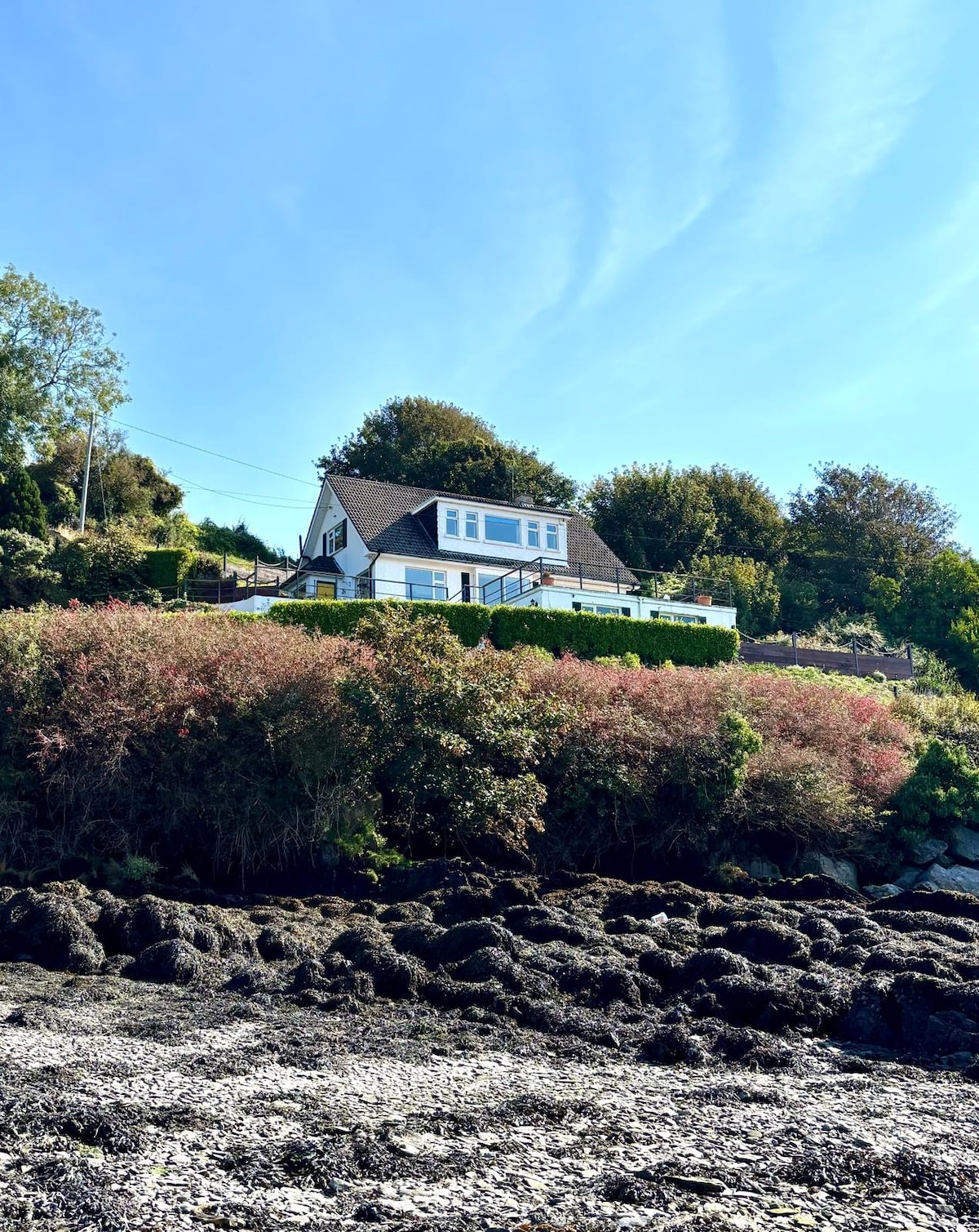 Fulacht fia in Dromgarriff NorthFulacht fia · 1571 yd
 DolmenWedge tomb · 1690 yd
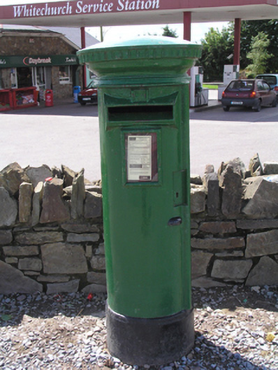 post boxpost box · 1.1 mi
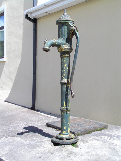 water pumpwater pump · 1.1 mi
 Graveyard in KilmonaGraveyard · 1.5 mi
 Castle (in Ruins)Castle, tower house · 2.4 mi
 Pairc Ath Na hEornaMemorial · 2.6 mi
 Garrycloyne Castle (in Ruins)Castle, tower house · 3.0 mi
 BatsVisitor information · 3.8 mi
 Bottle HillMountain / peak · 3.9 mi
 Waterloo Loop WalkWalking route · 3.9 mi
 River Martin Mill & WeirVisitor information · 3.9 mi