What is recorded here
In level pasture. Subrectangular stone aligned NE-SW (H 2.52m; 1.09m x 0.37m).
The above description is derived from the published 'Archaeological Inventory of County Cork. Volume 1: West Cork' (Dublin: Stationery Office, 1992). In certain instances the entries have been revised and updated in the light of recent research.
Date of upload/revision: 14 January 2009
The monument record does not grant public access. Check the route and ask the landowner before entering private land.
- What survives
- Recorded monument
Places near here
 Enclosure in LissacahaEnclosure · 264 yd
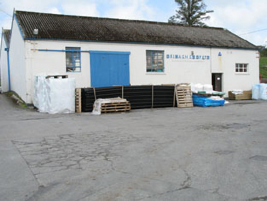 Drinagh Co-operative Ltd.creamery · 748 yd
 Burial ground in ArderrawinnyBurial ground · 1214 yd
 Lowertown Househouse · 1599 yd
 Castle (in Ruins)Castle, unclassified · 2.0 mi
 Coney IslandIslet · 2.1 mi
 Sailor's HillViewpoint · 2.2 mi
 AltarViewpoint · 2.3 mi
 Cadogan's StrandHeritage attraction · 2.5 mi
 Schull HarbourBay · 2.6 mi
 Long IslandIsland · 2.7 mi
 Coosheen PointHeadland · 3.0 mi