What is recorded here
Not marked on 1842 and 1904 OS 6-inch maps. In pasture, incorporated into N-S field fence. Stone (H 1.1m; 1m x 0.7m) is roughly triangular in shape, long axis E-W.
The above description is derived from the published 'Archaeological Inventory of County Cork. Volume 4: North Cork' (Dublin: Stationery Office, 2000). In certain instances the entries have been revised and updated in the light of recent research.
Date of upload/revision: 14 January 2009
Likely dating to the Late Neolithic or Bronze Age, this standing stone may have served a ceremonial or territorial function. No specific folklore or inscriptions are recorded, and its wider significance remains unclear.
The monument record does not grant public access. Check the route and ask the landowner before entering private land.
- What survives
- Recorded monument
Places near here
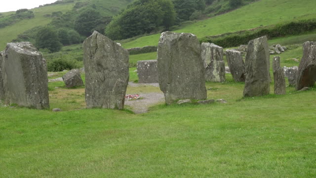 Standing StoneArchaeological place · 1172 yd
 Man-made underground passage in Ballyduane SouthMan-made underground passage · 1687 yd
 IndicatedKiln, lime · 1.1 mi
 Clashykinleen Bridgebridge · 1.8 mi
 Castle McAuliffe (Site of)Castle, unclassified · 2.3 mi
 CastleCastle, unclassified · 3.3 mi
 TaurMountain / peak · 3.9 mi
 Stanner's Glen, Priory WoodWood · 5.2 mi
 Kanturk CastleHeritage attraction · 7.3 mi
 Doctor's HillMountain / peak · 8.4 mi
 Nohaval WoodWood · 8.8 mi
 St Fursey's WellSpring · 9.3 mi