What is recorded here
Gallán is a standing stone in County Cork, Ireland. It stands in level pasture, subrectangular in plan, with its long axis reaching northeast to southwest. The stone rises 2.3m and measures 1.8m by 0.7m, old enough to predate the 1842 survey map. People may have passed it for centuries, reading markers or memories in its shape.
Not shown on 1842 OS 6-inch map. In level pasture. Stone (H 2.3m; 1.8m x 0.7m) is subrectangular in plan, long axis NE-SW.
The above description is derived from the published 'Archaeological Inventory of County Cork. Volume 3: Mid Cork' (Dublin: Stationery Office, 1997). In certain instances the entries have been revised and updated in the light of recent research.
Date of upload/revision: 14 January 2009
The monument record does not grant public access. Check the route and ask the landowner before entering private land.
- What survives
- Recorded monument
Places near here
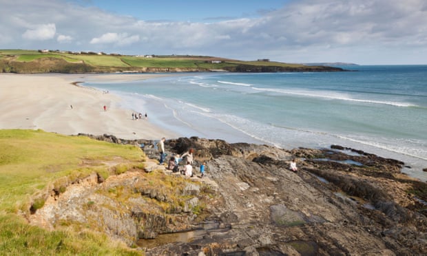 Mound in Kilquane (barretts By.)Mound · 1501 yd
 Grave Yard (Disused)Graveyard · 1570 yd
 Lyradane MountainMountain / peak · 1.7 mi
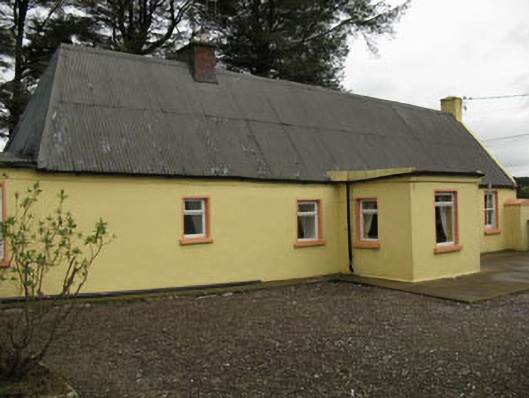 farm housefarm house · 2.1 mi
 Rock HillMountain / peak · 2.2 mi
 Saint Michael's Churchchurch/chapel · 2.6 mi
 Castle (Site of)Castle, Anglo-Norman masonry castle · 2.8 mi
 Castle Barrett (in Ruins)Castle, Anglo-Norman masonry castle · 3.3 mi
 New TipperaryVisitor information · 3.9 mi
 Knockduff Wind FarmVisitor information · 4.9 mi
 KnockarouraForest · 5.4 mi
 Pairc Ath Na hEornaMemorial · 5.5 mi