What is recorded here
Gallán stood in level Cork pasture until men buried it alive in a nearby quarry around 1985. Broker saw two holes like eyes on top, giving the stone a staring face that watched the fields before its disappearance. The loss feels like a local theft, depriving the landscape of a strange sentinel and leaving behind only memory and a hollow quarry pit.
Not marked on 1842 and 1904 OS 6-inch maps. Second stone (10066) marked on 1938 OS 6-inch map c. 45m to NE; third stone (10067) c. 150m to S. In level pasture. Removed, according to local information, c. 1985 and buried in nearby quarry to SE (CO029-207----). Possibly stone referred to by Grove White (1905-25 vol. 3, 90), in field to W of standing stone (10066), as small triangular-shaped rock (H 1ft 3in; L 2ft 2in; 2ft 10in from base to apex) with 5 cup marks...each about 3ins in diameter, which look like weather erosion?' Possibly stone (c) in 'stone row' recorded by Bowman (1934, 265) on Mrs. O'Donoghue's land - '(a) 5ft 6in by 9ft 11in girth; (b) 3ft 2in by 1ft 5in by 1ft 2in; (c) 1ft 11in by 2ft 9in by 1ft 7in'; he noted that centre stone (b) was fallen and removed to nearby field fence, stone (a) stood 24ft to E of site of (b) and (c) was 21ft to W of site of (b). Broker (1937, 31) recorded only one stone on 'Mrs. Jas. Donoghue's' land '...5ft high and very wide at base...two holes like eyes on top of it'.
The above description is derived from the published 'Archaeological Inventory of County Cork. Volume 4: North Cork' (Dublin: Stationery Office, 2000). In certain instances the entries have been revised and updated in the light of recent research.
Date of revision: 15 December 2009
The monument record does not grant public access. Check the route and ask the landowner before entering private land.
- What survives
- Recorded monument
Places near here
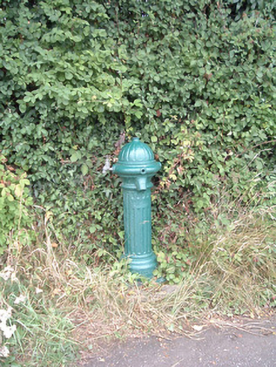 water pumpwater pump · 876 yd
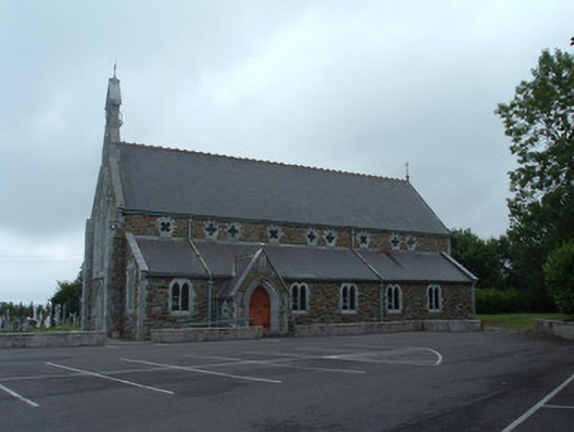 Church of the Immaculate Conceptionchurch/chapel · 1122 yd
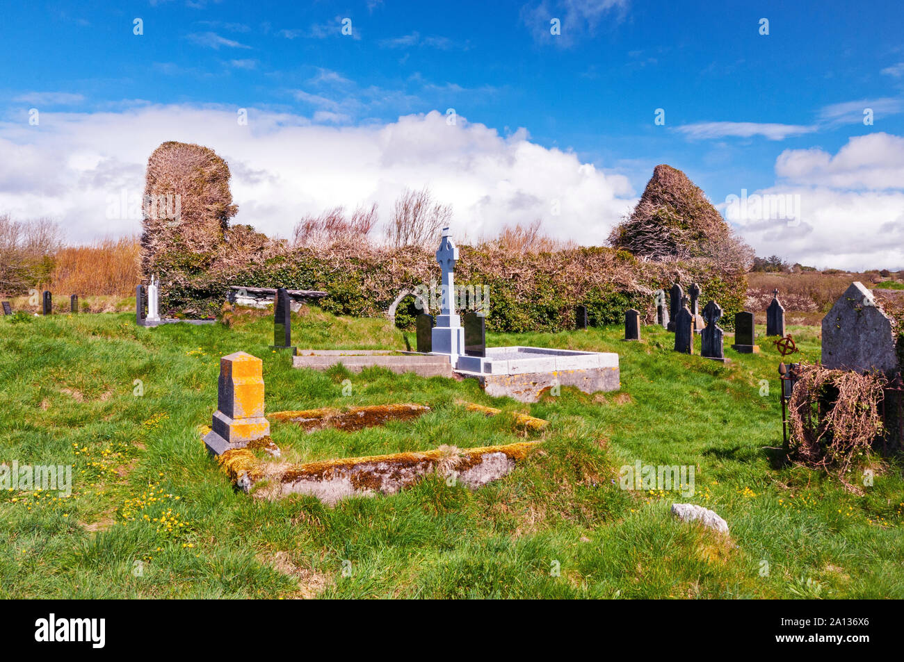 Ritual siteRitual site, holy/saint's stone · 1624 yd
 Fulacht fia in EuglauneFulacht fia · 1646 yd
 Nohaval WoodWood · 3.7 mi
 Dromsicane Castle (in Ruins)Bawn · 4.1 mi
 Castle and TurretCastle, tower house · 4.9 mi
 Millstreet Museum & Tourist Information CentreMuseum · 5.3 mi
 Claragh Loop (Trailhead 99)Visitor information · 5.4 mi
 Millstreet Tourist InformationVisitor information · 5.4 mi
 RowanRowan · 6.1 mi
 Caherbarnagh East TopMountain / peak · 6.3 mi