What is recorded here
In pasture on S-facing slope. Stone removed c. 1973 and now lying against field fence to W (L 3.7m; 0.95m). 'Imitation ogham markings' on stone noted by Condon (1916, 60) and Macalister (1945, 67, no. 52). Condon records stone standing to 9ft 10in high, narrowing from 38in to 30in towards top and 16in thick.
The above description is derived from the published 'Archaeological Inventory of County Cork. Volume 2: East and South Cork' (Dublin: Stationery Office, 1994). In certain instances the entries have been revised and updated in the light of recent research.
Date of upload/revision: 14 January 2009
Likely dating to the early Christian period, the stone's "imitation ogham" markings may reflect a tradition of symbolic or ritual inscription, possibly associated with local folklore or territorial markers. Its original placement on a south-facing slope suggests a possible ceremonial or commemorative function.
The monument record does not grant public access. Check the route and ask the landowner before entering private land.
- What survives
- Recorded monument
Places near here
 Ballyvorisheen BridgeBridge · 486 yd
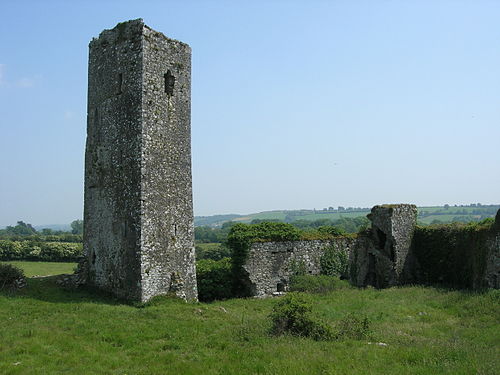 Man-made underground passage in GormleeMan-made underground passage · 1031 yd
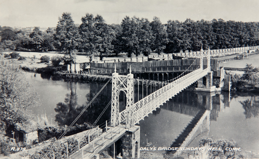 Sundays WellHoly well · 1.0 mi
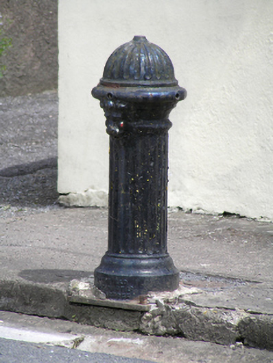 water pumpwater pump · 1.5 mi
 Castle (in Ruins)Castle, tower house · 1.7 mi
 Graveyard in KilmonaGraveyard · 3.3 mi
 Graveyard in GlenvilleGraveyard · 3.9 mi
 Bottle HillMountain / peak · 4.2 mi
 St John's WellSpring · 4.6 mi
 Castle (Site of)Castle, unclassified · 4.9 mi
 BatsVisitor information · 5.4 mi
 River Martin Mill & WeirVisitor information · 5.5 mi