What is recorded here
In bogland on E-facing slope. Rectangular stone aligned N-S (H 1.5m; 0.85m x 0.25m). Two other smaller stones just to N (H c. 0.5m).
The above description is derived from the published 'Archaeological Inventory of County Cork. Volume 1: West Cork' (Dublin: Stationery Office, 1992). In certain instances the entries have been revised and updated in the light of recent research.
Date of upload/revision: 14 January 2009
The monument record does not grant public access. Check the route and ask the landowner before entering private land.
- What survives
- Recorded monument
Places near here
 IndicatedFairy fort / earthen ringfort · 249 yd
 Enclosure in Toormore (carbery West (e.d) By.)Enclosure · 281 yd
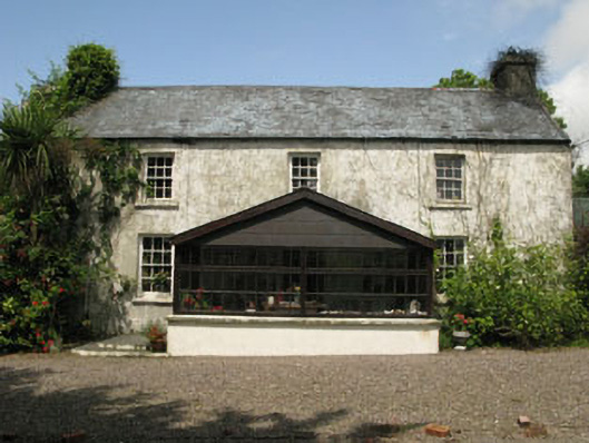 farm housefarm house · 1.1 mi
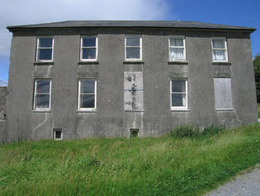 Westfield Housecountry house · 1.5 mi
 Monterey CypressMonterey Cypress · 1.7 mi
 Bawn in Oldcourt (carbery West (e.d) By.)Bawn · 2.6 mi
 Wild Atlantic WayVisitor information · 3.3 mi
 Kilcoe CastleCastle · 3.3 mi
 Mannin BegIslet · 3.3 mi
 Mannin IslandIslet · 3.5 mi
 Bishop MahonyMemorial · 3.8 mi
 KnockaphukeenMountain / peak · 3.9 mi