What is recorded here
Not shown on 1842 and 1904 OS 6-inch maps. In level pasture, overlooking Blackwater valley to W. Stone (H 1.63m; 1.48m x 0.87m) is subrectangular in plan, long axis N-S. About 15 cup marks on W face (average diam. 0.07m).
The above description is derived from the published 'Archaeological Inventory of County Cork. Volume 4: North Cork' (Dublin: Stationery Office, 2000). In certain instances the entries have been revised and updated in the light of recent research.
Date of upload/revision: 14 January 2009
Likely dating to the Neolithic or Bronze Age, the stone's cup marks may have had ritual or ceremonial significance, possibly linked to water or fertility symbolism. No specific folklore is recorded for this site.
The monument record does not grant public access. Check the route and ask the landowner before entering private land.
- What survives
- Recorded monument
Places near here
 Knocknagree Roman Catholic Churchchurch/chapel · 659 yd
 Knocknagree FortFairy fort / earthen ringfort · 664 yd
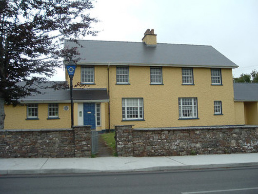 Knocknagree Garda Stationgarda station/constabulary barracks · 824 yd
 Fulacht fia in Shanbally (duhallow By.)Fulacht fia · 1433 yd
 Nohaval WoodWood · 1.7 mi
 Barna BogForest · 4.8 mi
 Doctor's HillMountain / peak · 6.4 mi
 BarraduffMemorial · 6.7 mi
 CurracahillMountain / peak · 7.2 mi
 Kilmeedy CastleCastle, tower house · 8.4 mi
 Site of Ardnagragh CastleCastle, unclassified · 9.3 mi
 Crag CaveCave · 13 mi