What is recorded here
Gallán is a leaning standing stone in the Sullane River valley, caught inside a ordinary field fence. It stands nearly two metres tall, broad enough to block a person or a shadow, yet it escaped the first detailed maps because it looked like a farm boundary rather than a monument. The stone may have marked a boundary, a memory or a warning, but its shape still suggests human intention.
Not shown on 1842 OS 6-inch map. In valley of Sullane River, in pasture; incorporated into field fence. Stone (H 1.65m; 1.3m x 0.8m) is subrectangular in plan, leaning slightly to SE; long axis NE-SW.
The above description is derived from the published 'Archaeological Inventory of County Cork. Volume 3: Mid Cork' (Dublin: Stationery Office, 1997). In certain instances the entries have been revised and updated in the light of recent research.
Date of upload/revision: 14 January 2009
The monument record does not grant public access. Check the route and ask the landowner before entering private land.
- What survives
- Recorded monument
Places near here
 farm housefarm house · 39 yd
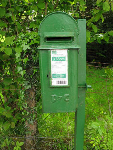 post boxpost box · 403 yd
 Lissacresig Stone CircleArchaeological place · 1418 yd
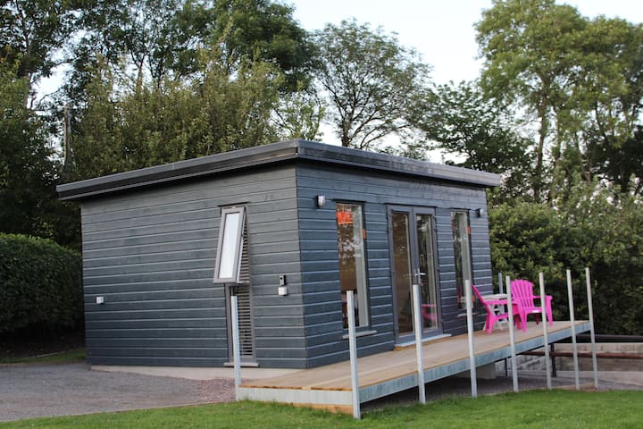 LissacresigFairy fort / earthen ringfort · 1624 yd
 Carrigaphooca CastleCastle · 2.0 mi
 Curraheen WoodWood · 2.7 mi
 Dundareirke Castle (in Ruins)Castle, tower house · 2.8 mi
 Port Ban Nature Reserve, Irish Wildlife TrustNature reserve · 3.2 mi
 Cnoc na nUlán (mullach thoir)Mountain / peak · 3.8 mi
 European long distance path E8 - part IrelandWalking route · 4.1 mi
 KnockullaneMountain / peak · 4.1 mi
 Macroom WalksVisitor information · 4.7 mi