What is recorded here
In level pasture. Rectangular stone (H 1.35m; 1.35m x 0.7m) aligned NE-SW.
The above description is derived from the published 'Archaeological Inventory of County Cork. Volume 2: East and South Cork' (Dublin: Stationery Office, 1994). In certain instances the entries have been revised and updated in the light of recent research.
Date of upload/revision: 14 January 2009
Likely dating to the early Christian period, the stone may be associated with Saint Gallán, a 6th-century monk linked to the area. It may have functioned as a memorial or waymarker, and local tradition might have later incorporated it into Christian pilgrimage routes.
The monument record does not grant public access. Check the route and ask the landowner before entering private land.
- What survives
- Recorded monument
Places near here
 Fulacht fia in CarrigrohaneFulacht fia · 791 yd
 Enclosure in CarrigrohaneEnclosure · 993 yd
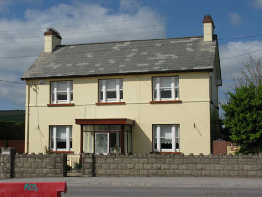 Ard na Laoihouse · 1016 yd
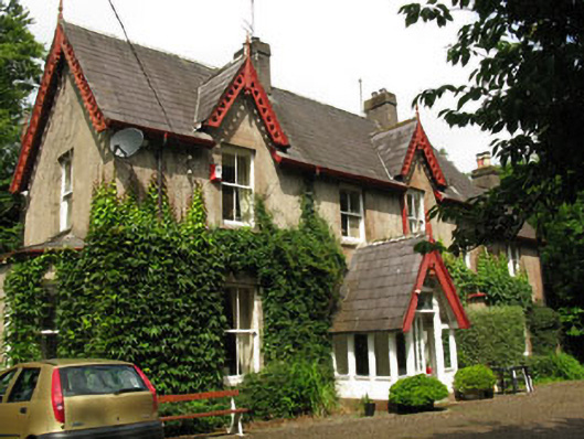 The Gleberectory/glebe/vicarage/curate's house · 1068 yd
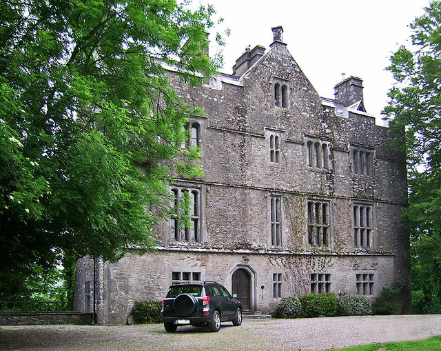 Carrigrohane Castle (in Ruins)Castle, Anglo-Norman masonry castle · 1501 yd
 Patrick BurnsMemorial · 1537 yd
 Stone BeachBeach / strand · 1687 yd
 Sunday WellSpring · 1.2 mi
 Murphy's FarmHeritage attraction · 1.2 mi
 Cave in Ballincollig (muskerry East By., Carrigrohane Par.)Cave · 1.5 mi
 Ballincollig Castle (in Ruins)Castle, tower house · 1.5 mi
 Ballincollig ViewViewpoint · 1.8 mi