What is recorded here
Gallán is a 1.55m rectangular standing stone on a south-facing pasture slope, 75m northeast of a ringfort in County Cork. Its long axis points northeast-southwest, blocking part of the view and marking the edge of the old field. People may have set it there to judge distance, remember an event or warn others that the land was already claimed.
In pasture, on S-facing slope, c. 75m to NE of ringfort (CO070-074----). Stone (H 1.55m; 1.75m x 0.75m) is rectangular in plan, long axis NE-SW.
The above description is derived from the published 'Archaeological Inventory of County Cork. Volume 3: Mid Cork' (Dublin: Stationery Office, 1997). In certain instances the entries have been revised and updated in the light of recent research.
Date of upload/revision: 14 January 2009
Probably dates to the early medieval period, associated with Christian tradition or monastic activity. The name "Gallán" may refer to a saint or holy well, suggesting a site of local religious or pilgrimage significance.
The monument record does not grant public access. Check the route and ask the landowner before entering private land.
- What survives
- Recorded monument
Places near here
 IndicatedEnclosure · 830 yd
 Toberlaghteen (covered)Holy well · 1108 yd
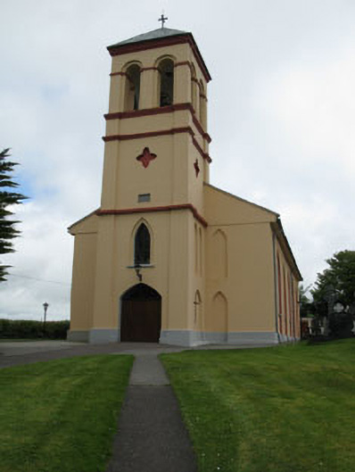 Séipéal Naomh Lachtáin [Saint Lachtáin's Catholic Church]church/chapel · 1.1 mi
 Carrigaphooca CastleCastle · 1.5 mi
 Dundareirke Castle (in Ruins)Castle, tower house · 1.6 mi
 filling pump/stationfilling pump/station · 1.7 mi
 Curraheen WoodWood · 1.9 mi
 The Gearagh Nature ReserveNature reserve · 2.6 mi
 Macroom WalksVisitor information · 4.0 mi
 Battle of Macroombattle · 4.3 mi
 European long distance path E8 - part IrelandWalking route · 4.9 mi
 Cnoc na nUlán (mullach thoir)Mountain / peak · 5.5 mi