
What is recorded here
Shown as hachured oval enclosure on 1842 OS 6-inch map; indicated on 1904 and 1938 OS 6-inch maps. In pasture, on S-facing slope. Oval area (70m N-S; 58m E-W) enclosed by stone-faced earthen bank (H 0.6m) NW->ENE; elsewhere earth and stone bank or stone bank. Breaks in bank to NE, SSE, SSW, WNW and NW provide access to five fields adjoining enclosure. Interior slopes gently downhill to SW; possible Man-made underground passage (CO070-101002-) in SW quadrant.
The above description is derived from the published 'Archaeological Inventory of County Cork. Volume 3: Mid Cork' (Dublin: Stationery Office, 1997). In certain instances the entries have been revised and updated in the light of recent research.
Date of upload/revision: 14 January 2009
The monument record does not grant public access. Check the route and ask the landowner before entering private land.
- What survives
- Recorded monument
Places near here
 IndicatedFairy fort / stone ringfort · 469 yd
 Fulacht fia in An Droim RéidhFulacht fia · 774 yd
 filling pump/stationfilling pump/station · 1.2 mi
 Dundareirke Castle (in Ruins)Castle, tower house · 1.3 mi
 Carrigaphooca CastleCastle · 1.5 mi
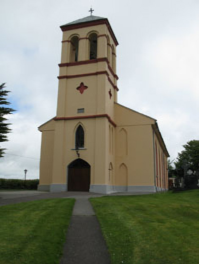 Séipéal Naomh Lachtáin [Saint Lachtáin's Catholic Church]church/chapel · 1.6 mi
 Curraheen WoodWood · 1.6 mi
 The Gearagh Nature ReserveNature reserve · 2.1 mi
 Macroom WalksVisitor information · 3.7 mi
 Battle of Macroombattle · 4.0 mi
 Kilmichael Ambush SiteMonument · 5.4 mi
 European long distance path E8 - part IrelandWalking route · 5.4 mi
Other information
Photo: Credit not shown in the picture search · Rights wording not checked; contact us if this picture should be removed