What is recorded here
Gallán is a 1.2m standing stone in County Cork pasture, absent from both the 1842 and 1904 maps. It narrows toward the top like a finger pointing downward into the earth rather than upward toward the sky. Whatever it marked, it did so quietly enough that surveyors walked past twice without seeing it. The stone still stands on its southern slope, waiting for someone who knows what downward pointing means.
Not shown on 1842 and 1904 OS 6-inch maps. In pasture, on S-facing slope. Stone (H 1.2m; 0.7m x 0.9m) is subrectangular in plan, narrowing towards top; long axis N-S.
The above description is derived from the published 'Archaeological Inventory of County Cork. Volume 3: Mid Cork' (Dublin: Stationery Office, 1997). In certain instances the entries have been revised and updated in the light of recent research.
Date of upload/revision: 14 January 2009
The monument record does not grant public access. Check the route and ask the landowner before entering private land.
- What survives
- Recorded monument
Places near here
 IndicatedEnclosure · 813 yd
 Fulacht fia in An Droim RéidhFulacht fia · 1161 yd
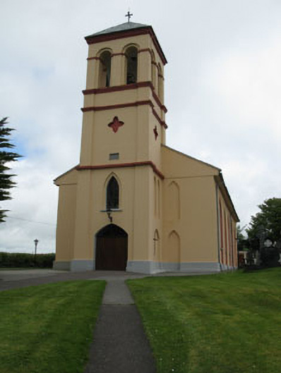 Séipéal Naomh Lachtáin [Saint Lachtáin's Catholic Church]church/chapel · 1.4 mi
 filling pump/stationfilling pump/station · 1.5 mi
 Dundareirke Castle (in Ruins)Castle, tower house · 1.7 mi
 Carrigaphooca CastleCastle · 1.9 mi
 Curraheen WoodWood · 2.1 mi
 Port Ban Nature Reserve, Irish Wildlife TrustNature reserve · 2.4 mi
 Macroom WalksVisitor information · 4.2 mi
 Battle of Macroombattle · 4.4 mi
 European long distance path E8 - part IrelandWalking route · 5.1 mi
 Kilmichael Ambush SiteMonument · 5.1 mi