What is recorded here
In pasture, on a slight ESE-facing slope. The stone (dims. 2m x 1.15m; H 2.35m) is irregular in plan and orientated WNW-ESE. It is rectangular in shape and tapers towards the top.
Compiled by: Elizabeth Byrne, Ursula Egan and Sheila Ronan, Archaeological Survey Unit, University College, Cork.
Date of upload: 31 January 2011
The monument record does not grant public access. Check the route and ask the landowner before entering private land.
- What survives
- Recorded monument
Places near here
 IndicatedFairy fort / earthen ringfort · 527 yd
 Sheheree Bog Nature ReserveNature reserve · 570 yd
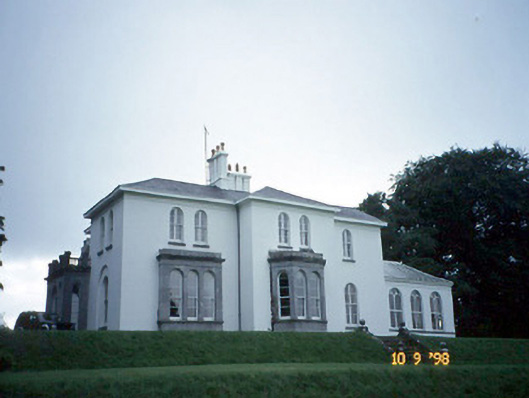 Coolclogher Housecountry house · 665 yd
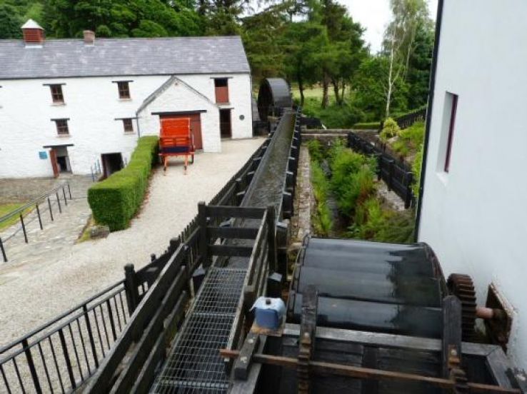 Flesk Mills (Corn) (Disused)Mill, unclassified · 894 yd
 Flesk CastleCastle · 1015 yd
 Cross (present location) in CarrigafreaghaneCross (present location) · 1180 yd
 McCarthy Mor CastleCastle · 1432 yd
 The Blue PoolGallery · 1.2 mi
 Castlelough BayBay · 1.3 mi
 Killarney First World War MemorialMemorial · 1.3 mi
 Muckross AbbeyHeritage attraction · 1.3 mi
 Monsignor Hugh O'Flaherty MemorialMemorial · 1.4 mi